

When my friend Richard told me about the fun he had exploring the mountainous terrain around Mount Colliery, near Killarney, I couldn’t resist checking it out for myself.
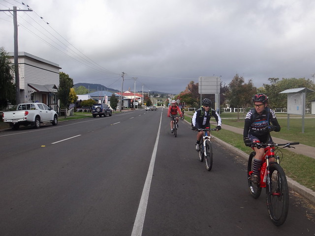
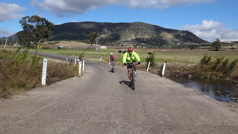
We started on a cold morning in Killarney, near the headwaters of the Condamine River in Cambanoora Gorge.
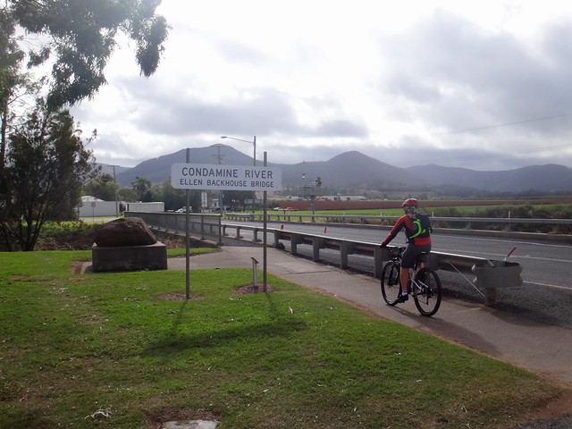
The Condamine is part of the largest river system on our continent, which stretches from here all the way to Adelaide.
The Aboriginal people who lived on the plains between what is now Killarney and Warwick called the Condamine River “Corra Corra Beh” which means “Long Stream”.
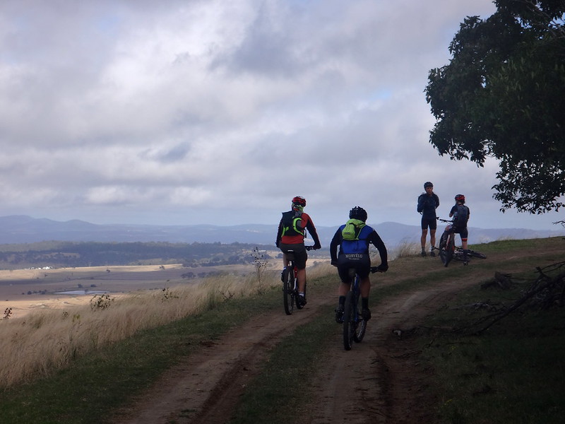
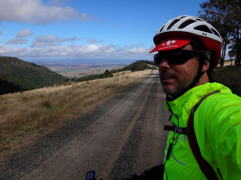
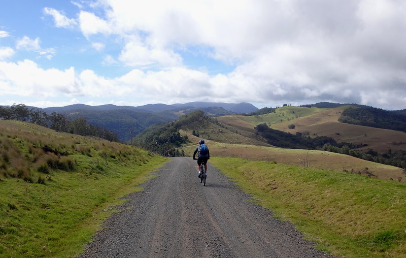
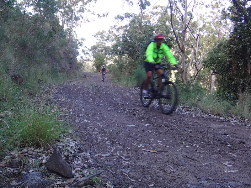
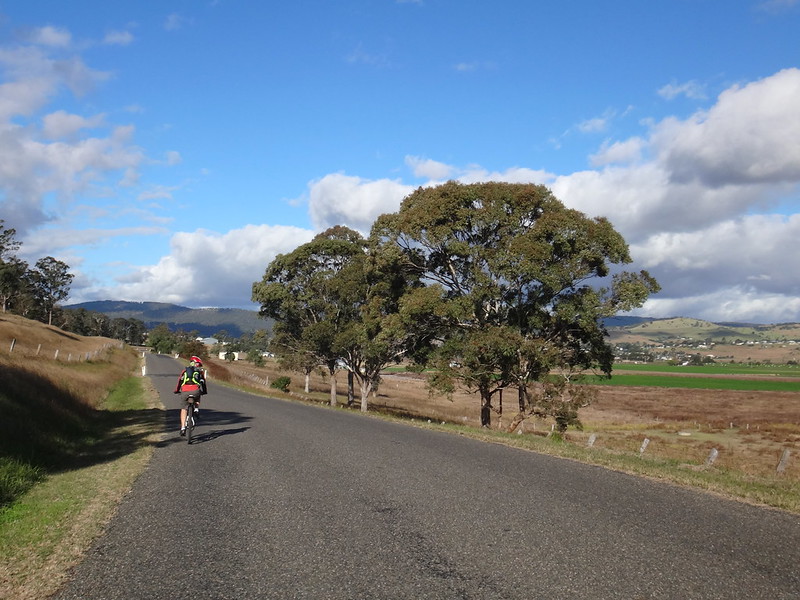
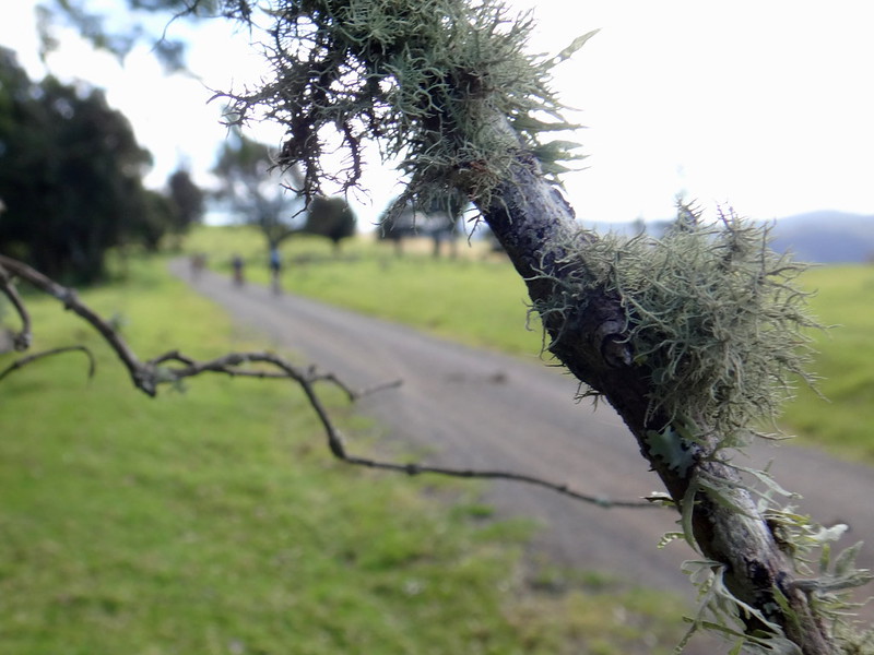
Omara’s Road is a wonderful dirt track which leads from Killarney to Mount Colliery. It’s very steep in places, so we didn’t have much time to warm up before starting our grind up the hill.
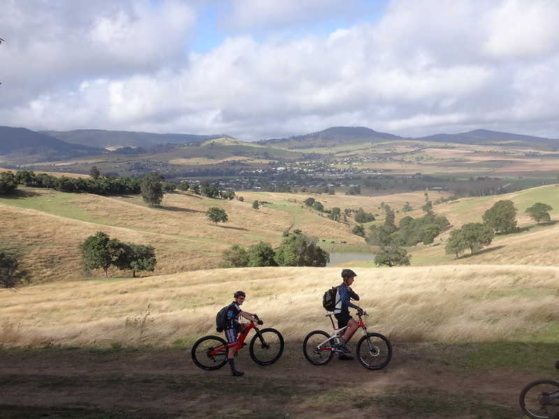
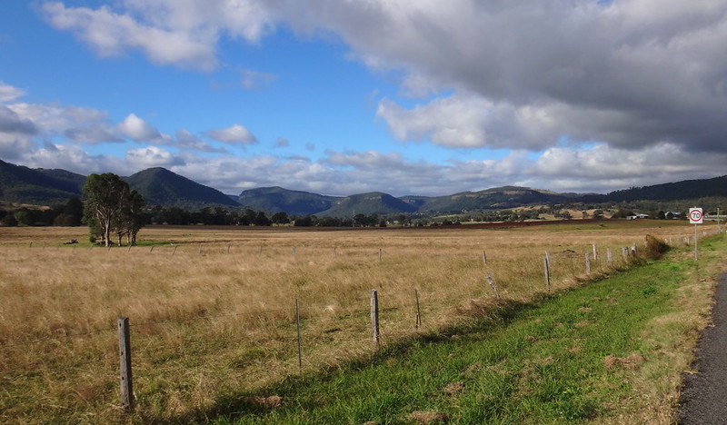
For our efforts we were rewarded with some great views of Killarney and the Southern Downs stretching out to the west.
After rain the rolling hills turn bright green, which explains why early European settlers would think of the Emerald Isle when chosing an Irish name for their town.
Once we crested the hill we enjoyed a brisk roll down into the small village of Mount Colliery.
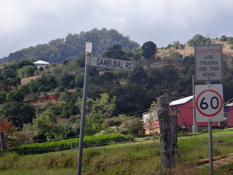
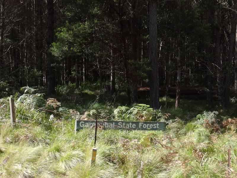
“Gambubal” State Forest is a bit of a misnomer. It’s named after the Kambuwal Aboriginal People – the traditional owers of Girraween and the Stanthorpe Area. But historically, the people who inhabited this area were the Githabul. In his paper “Being on Country: Githabul approaches to mapping culture“, Nick Mclean from the ANU describes Githabul country as including the mountains that stretch from Kyogle to Killarney and Warwick.
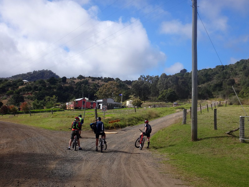
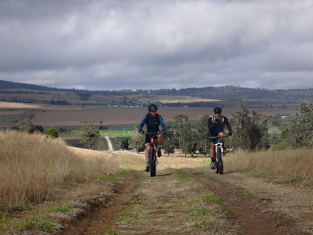
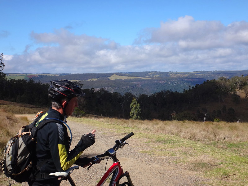
Gambubal Road marked the start of the “big climb” which would take us up over 1,100 metres above sea level.
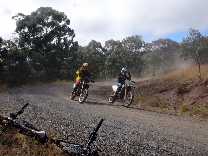
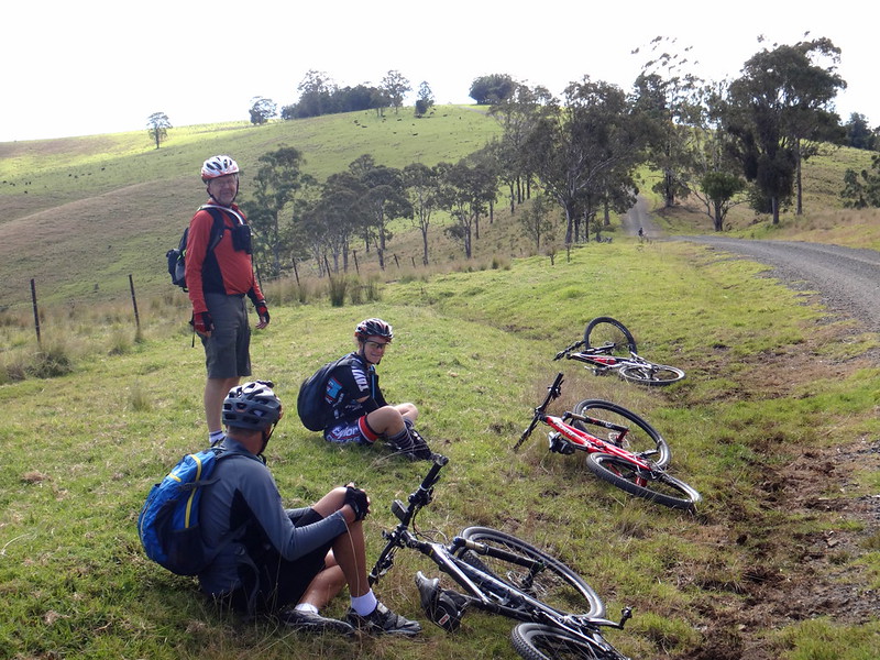
We stopped several times on the way up to rest, enjoy the view and allow eager moto-cross riders to safely pass us.
A blustery southerly wind buffeted us as we strained up the hill. I was glad I’d brought my jacket. Up on this plateau the temperature dropped, and it was much easier to ride if we didn’t get too cold.
On our right we were able to look down into Condamine Gorge. Eric, Darb and I had followed the river through this spectacular gorge a couple of years ago.
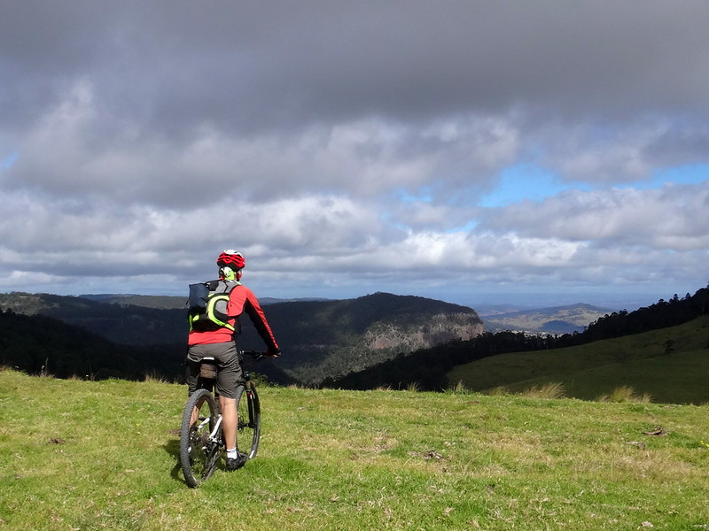
It was fascinating to see if from up high.
The Githabul people called it “Cambanoora” which means “Big Cliff”.
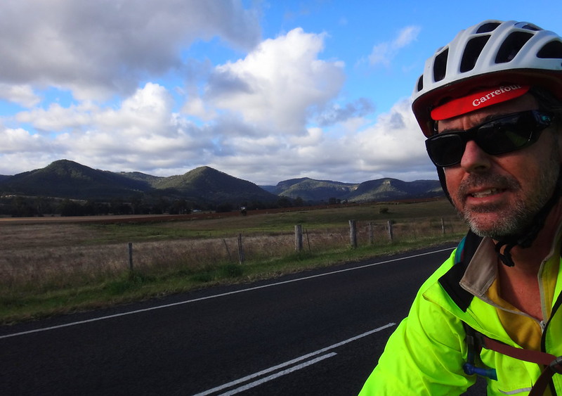
Ahead of us we could see Mount Superbus – at 1375 metres, the highest peak in South East Queensland, its summit shrouded in cloud.
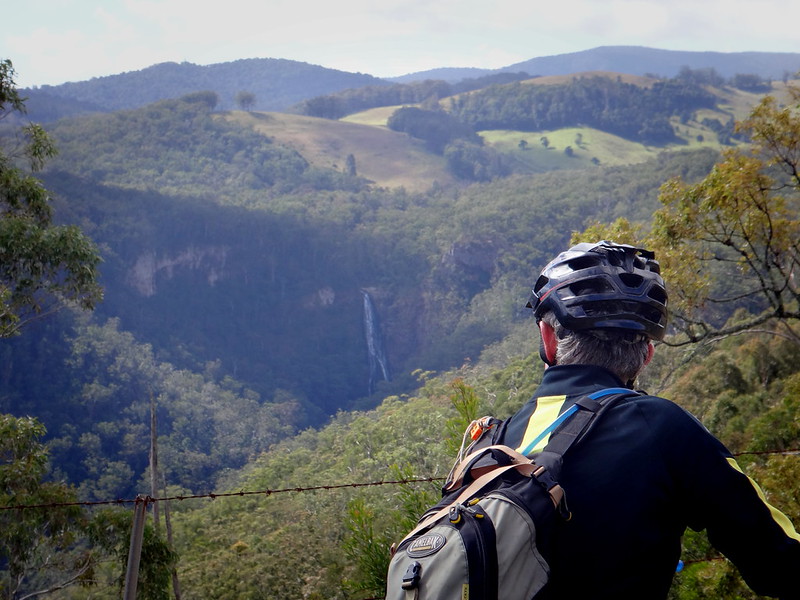
On our left we were able to make out Hoffman Falls where Farm Creek cascades over the range.
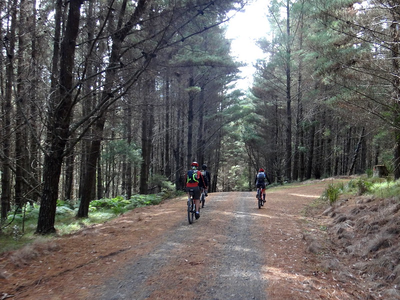
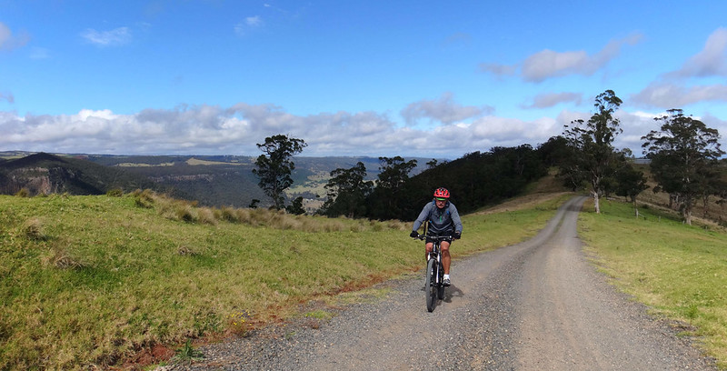
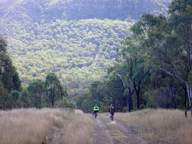
We undulated over the mountaintop plateau until we eventually reached the State Forest. The pine plantation provided welcome shelter from the strong cold wind.
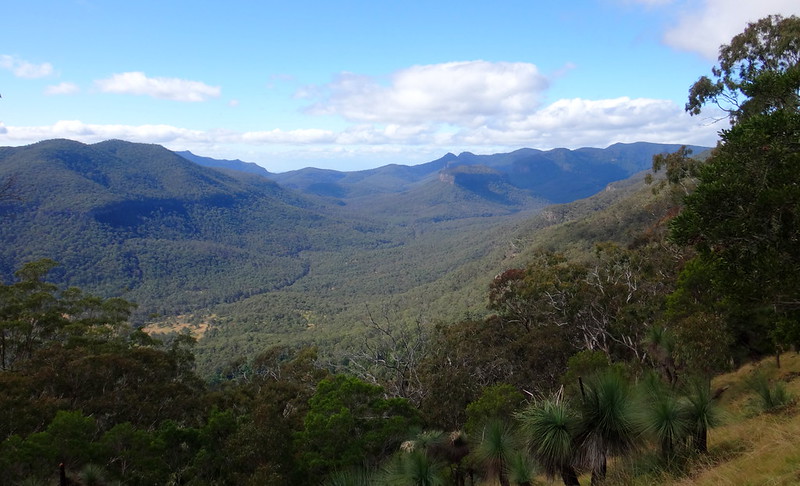
On the northern edge of the loop we had a wonderful view of “The Steamers” – a series of mountains whose peaks resemble a line of ships.
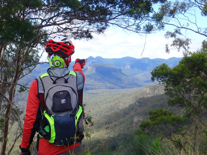
Russel has climbed most of these mountains. He has an almost encyclopedic knowledge of the local geography, having grown up not far from here. He pointed out the “Prow”, “Funnel”, “Mast” and “Stern” peaks.
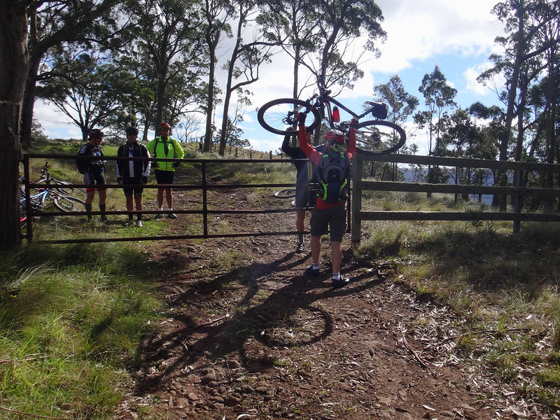
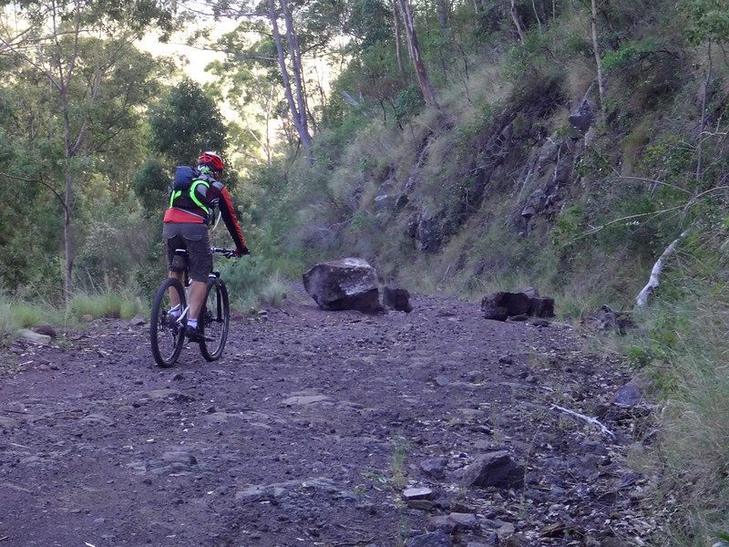
We eventually encountered a locked gate. Since we were following my friend Richard’s plot, we didn’t give it a second thought. It wasn’t until we caught up with the land-owner a little later that we realized we were on private property. He was really gracious with us and explained that he didn’t mind us passing through – he just would have preferred to know about our visit beforehand. If you’re reading this, and are planning on following our footsteps on this ride, please contact me, and I’ll put you in touch the landowner so you can clear it with him before your visit.
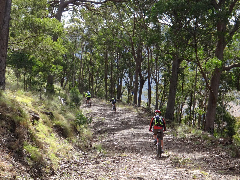
And then began the exciting descent!
We dropped almost 600 metres in 6 kilometres along a rutted rocky road.
I was grateful for my plush suspension – but even the best shock absorbers couldn’t smooth out some of the boulders that blocked our way.
Eventually the descent became smoother, and we were able to let go of the brakes and pick up a bit of speed.
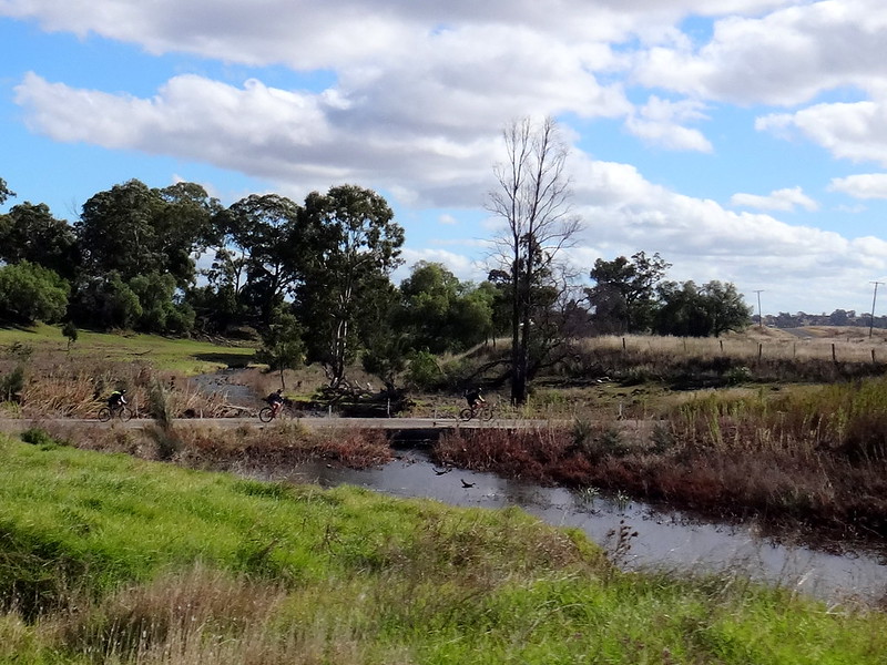
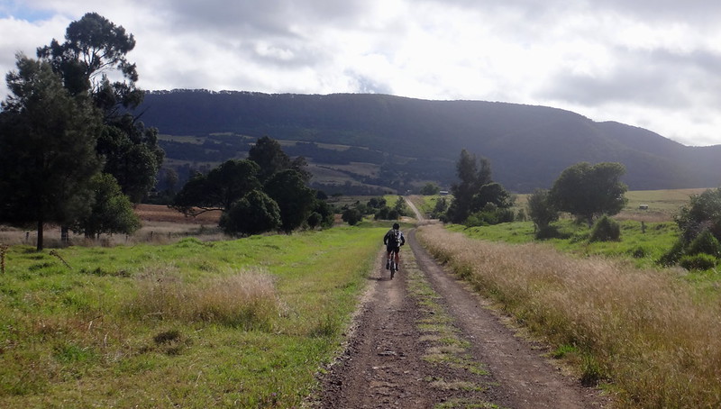
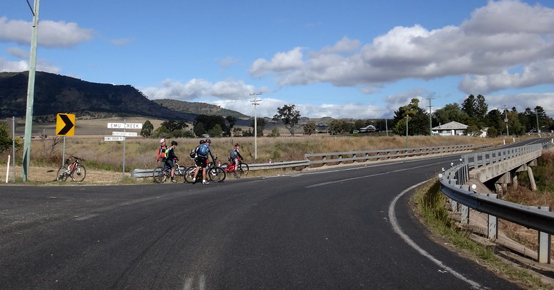
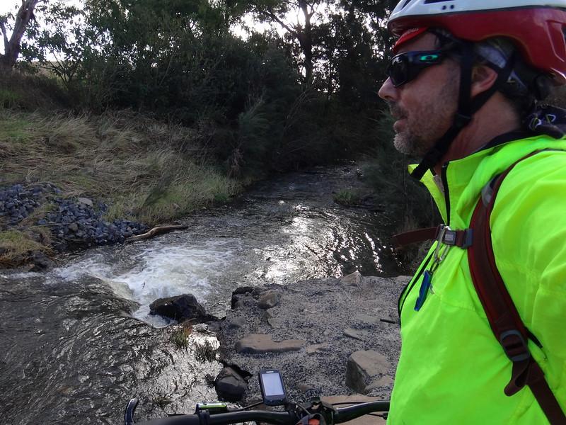
At the bottom of the descent we enjoyed a leisurely roll along Emu Creek as we followed it out of the valley.
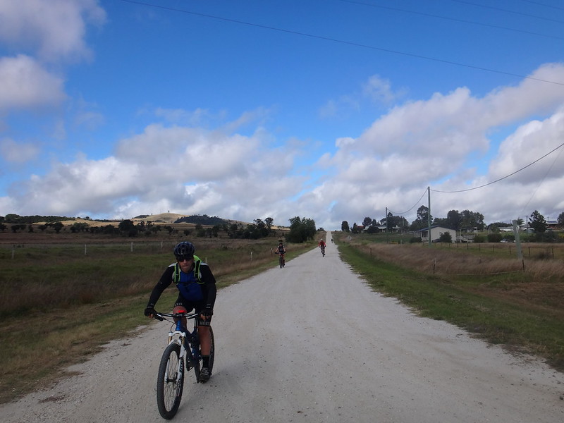
The last section of the ride, although it was on a paved road with gentle hills, was the most difficult.
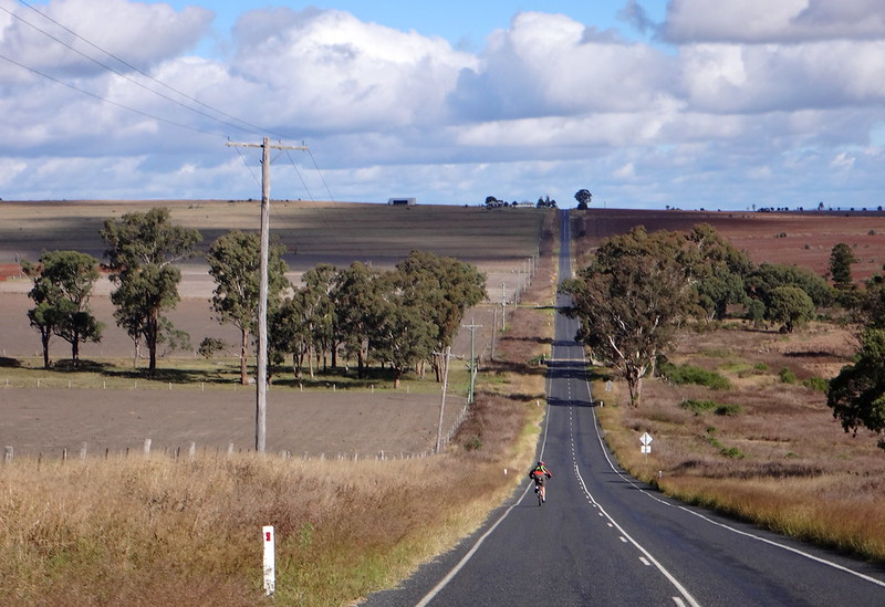
We rode into a stiff headwind. Our progress was slow.
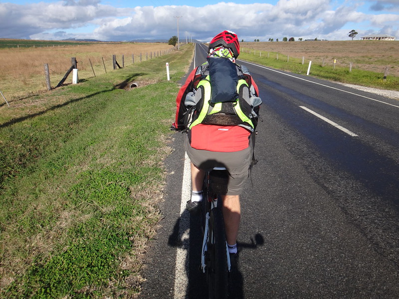
Russel and I alternated in slipstreaming each other as we rode, to get some respite from the breeze.
The slow progress strung our group out over several kilometres. I was grateful that Russel stayed with me. Riding into the teeth of a blustering headwind is much easier when you do it with someone else!
Back in Killarney, I had unfinished business.
While the others unpacked, I rode a few more kilometres up the road to join up my track with a previous ride, and have a look at the Condamine River while it was still a small stream.
My map-obsession fulfilled, and tracks joined up, I happily rode back to the others with the breeze at my back.
Whoever wrote the Irish blessing must have been a cyclist:
May the road rise up to meet you.
May the wind be always at your back.
May the sun shine warm upon your face…
To be sure, to be sure, to be sure

Another memorable day out in spectacular country with friends.
I am so fortunate, and truly hope for many more days like this.
Thanks Richard, for telling us about this place.
And thanks Becca, Tom, Eric, Russel and Mike for sharing this day with me.
Let’s do it again!


No comments:
Post a Comment