

Words fail me when I try to describe the rugged beauty of the Border Track which follows the precarious ridge along the state border between Queensland and NSW.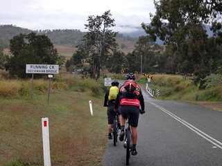
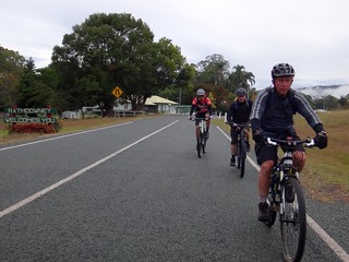
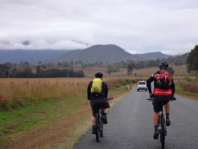
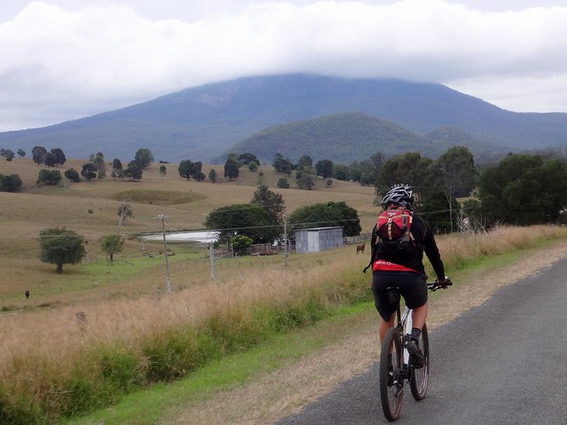
We rode from Rathdowney on a cold damp winters morning, heading south towards the Mountains that frame the state border.
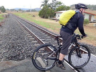
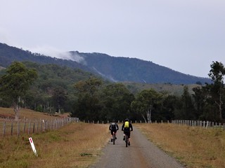
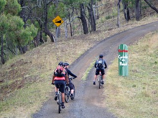
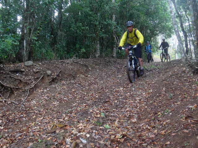
After crossing the interstate railway line we left the paved road, and followed Tartar Creek Road towards the first major climb of the day – Philp Mountain Road.
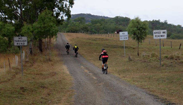
Philp Mountain Road is a very steep gravel road which climbs the McPherson Range, ending at private property on the border. We had made arrangements with Susan Zoomers from Wild Mountains Environmental Education Centre, who kindly agreed to let us ride through her property.
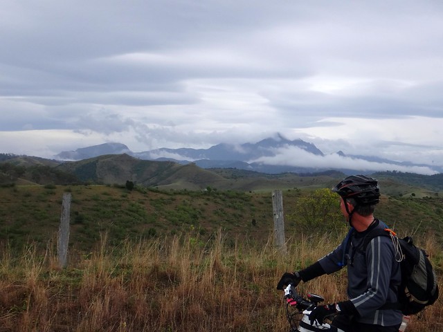
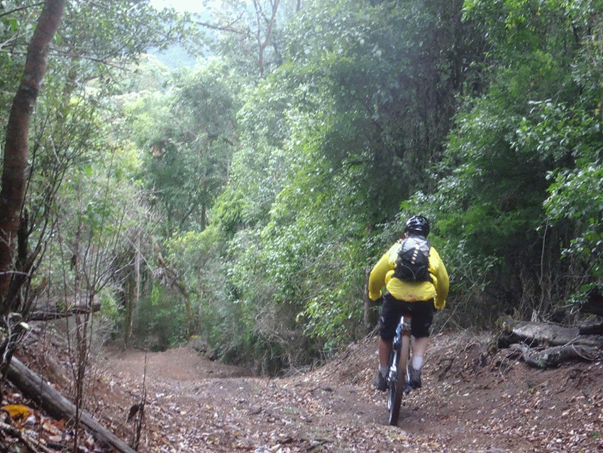
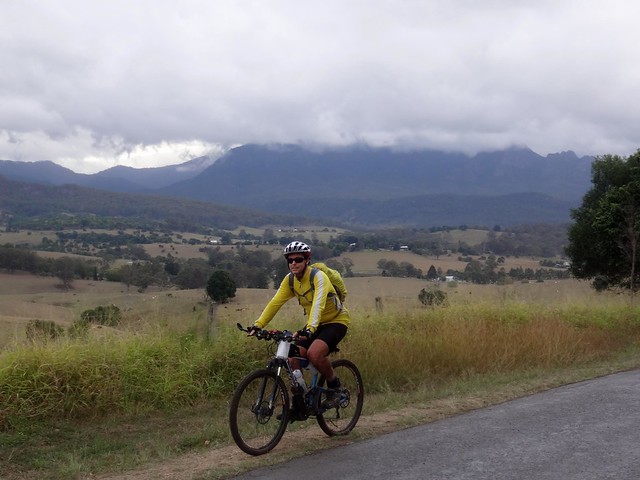
Philp Mountain Road is impossibly steep in parts, but offers amazing views of the surrounding landscape.
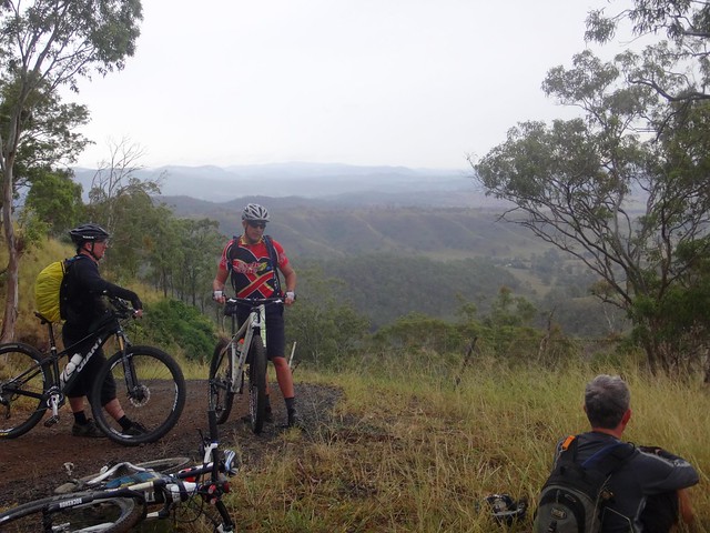
We stopped several times on the way up to admire the view, make repairs, and catch our breath.
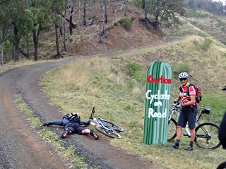
Halfway up the hill, just before the steep 30% climbs, we found that Susan and her friends had kindly placed a warning sign on the road to make sure any passing drivers were aware of us. We were pleasantly surprised by her thoughtfulness, although Eric decided to ham it up for the sign. How can you have a “Cyclist on the Road” sign without an actual cyclist ON the road?
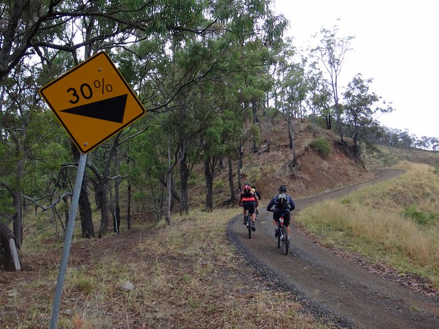
But our antics were merely postponing the inevitable monster climb. And as usual, the pictures fail to convey the steepness of the gradient.
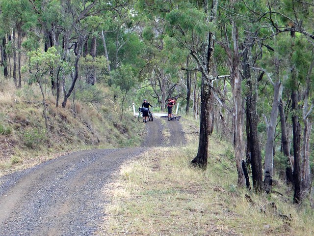
“Did you guys actually ride up that bit?” I quizzed Eric and Darb as I caught up with them. Paul and I had walked the bikes up this section after my tyres slid out and my legs told me to stop working them so hard.
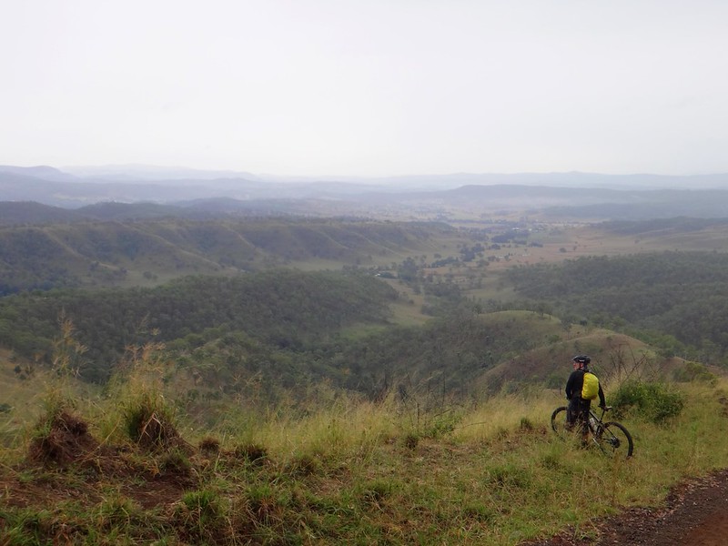
“Wow” I said to myself as I looked out ovre the hills below us.
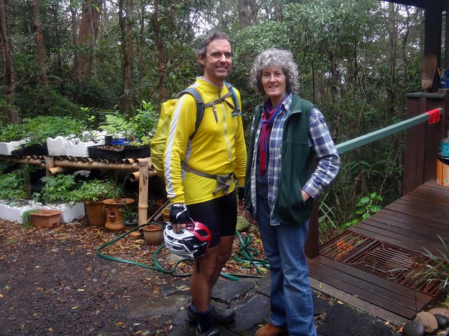
At the top we met up with Susan, who showed us around the Wild Mountains Environmental Education Centre, and kindly gave us a hot coffee. Susan is the great-grand daughter of Robert Collins, one of the driving forces behind the establishment of Lamington National Park in 1915.
Susan and her husband Richard, and friends Geoffrey and Kathryn started Wild Mountains in the 1980′s, believing that rather than protest, education was a more effective way of harnessing community support for the environment.
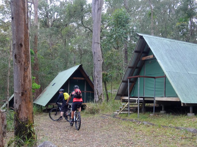
The centre has some great A-Frame tents which would be perfect for an overnight or multi-day stay in the area.
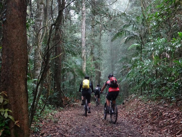
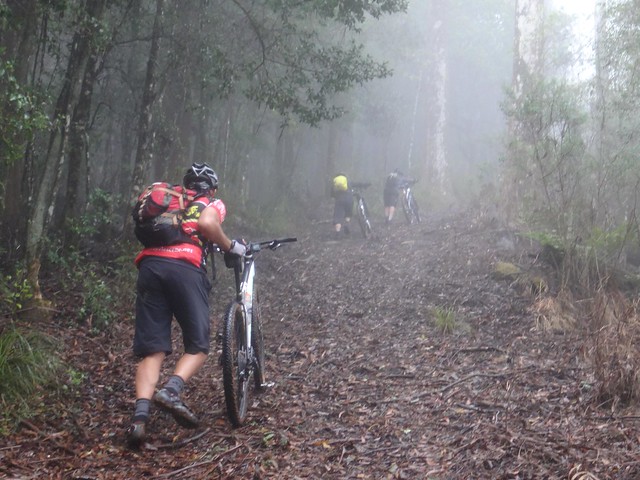
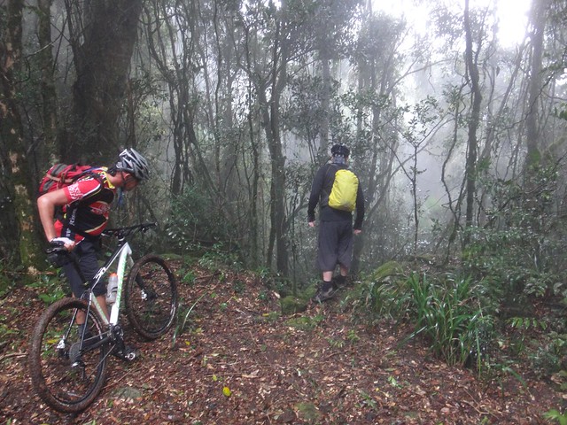
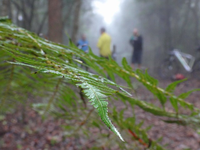
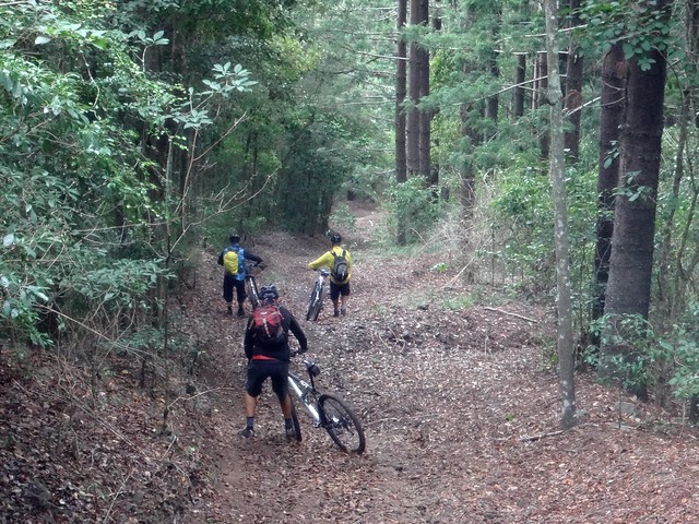
After a short break, we made our way further up the mountain into the rainforest. The light dimmed dramatically as the the damp mist swirled around us and the trees closed in.
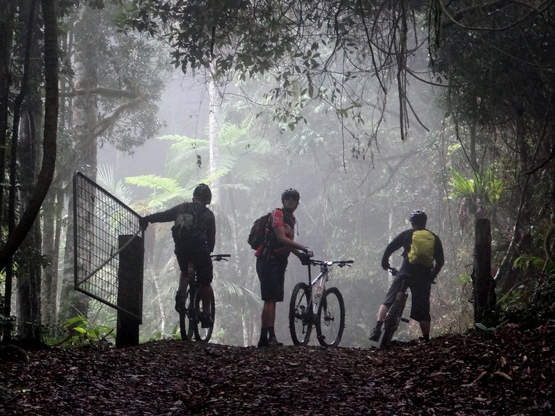
At the top of one more climb we finally reached The Fence.
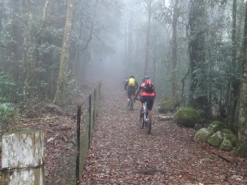
The rabbit-proof fence which marks the state border in this area is a marvel.
It is maintained by the Darling Downs – Moreton Rabbit Board and in some places follows the painstaking border surveys carried out by Rowland and Roberts in the 1860′s. The fence stretches 555km from Mount Gipps to Goombi near Chinchilla where it joins up with the 2,500 km long Wild Dog Fence.
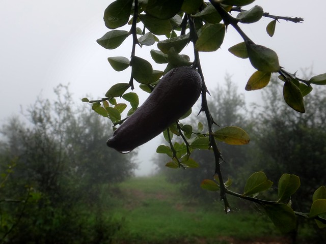
On the edge of the rainforest we passed through a finger-lime orchard. This native fruit has been described as “lime-flavoured caviar”. It grows naturally in the high cloud forests of the Border Ranges and Mount Tamborine area. The aboriginal name for the fruit, “Jambourine” is the basis of the name given to Mount Tamborine.
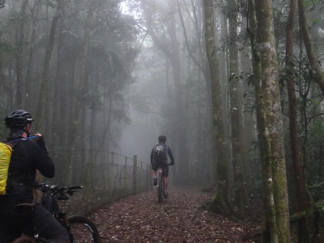
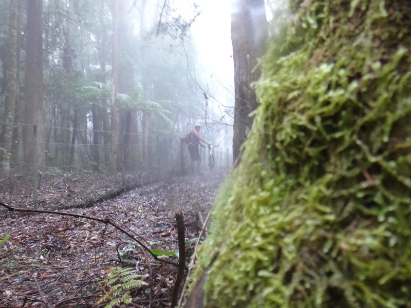
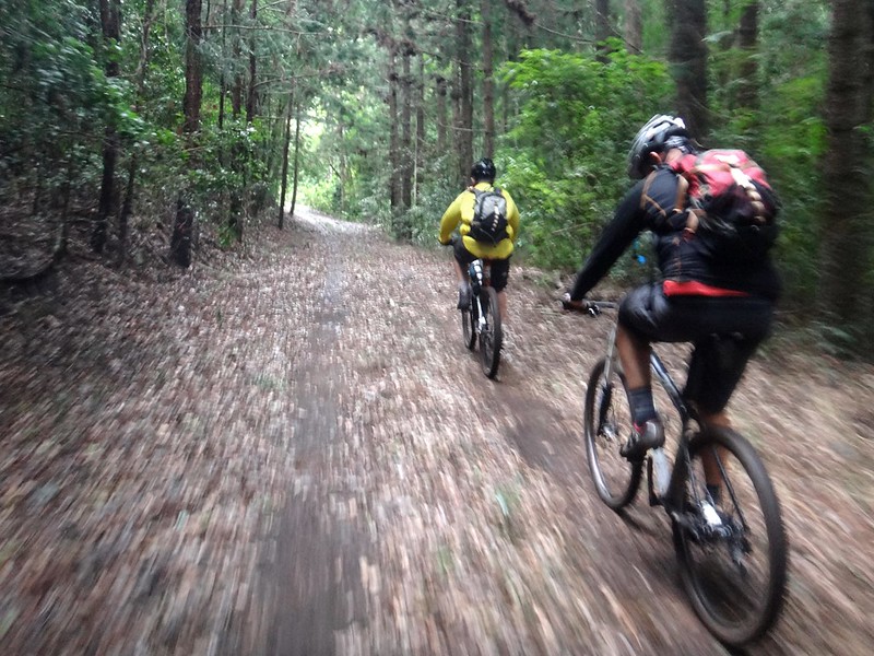
Navigation was easy as we rode along the well-maintained track which follows the fence, but…
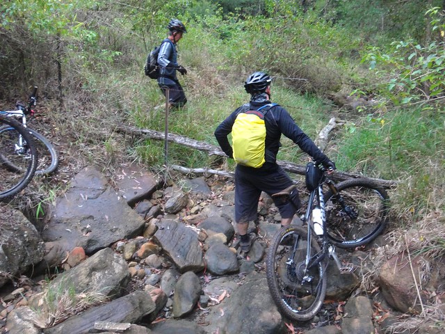
In some places it’s impossibly steep. In some parts the descents were too treacherous to ride down. In other places they were too steep to ride up.
In some places the track comes precariously close to sheer drops. “Whatever you do, don’t turn right” I yelled out in jest as we rode along.
The temperature up here at over 800m above sea-level barely made it above 10C. It was cold and humid, but we were riding hard and didn’t feel the cold.
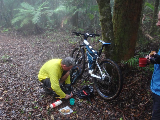
Nevertheless we were very happy when Eric got out his “Jet Boil” and made us a hot-chocolate.
It was simple bliss to sip on a piping hot drink while gobbling down some fruit-cake that Paul brought along.
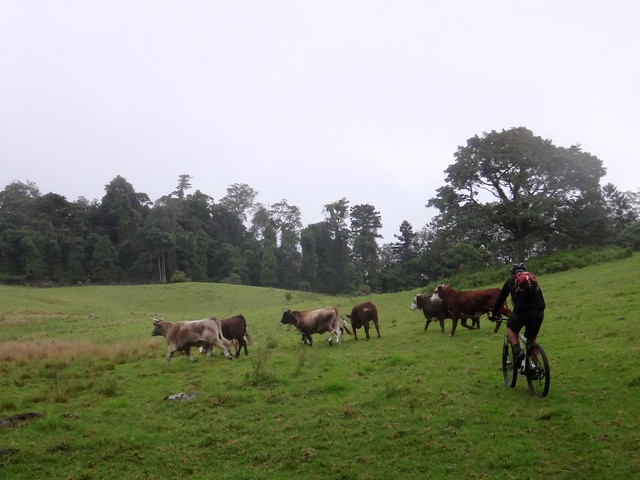
We rocketed along the fence riding down a wonderful 2km descent until we finally branched away from the border towards a high pasture owned by the Rabbit Board.
This was the most dangerous part of the ride. The slopes were treacherously steep.
Eric had difficulty maintaining control as he skidded down the hill. So did Darb.
Unfortunately, Paul got a puncture in his front tyre as he rode down, and went flying over the handlebars. He looked stunned, but he was ok. I asked him the date, but since I didn’t know what the date was, I wasn’t able to check his answer. He did tell me it was June, which I agreed with, and so I pronounced him fit and able to continue…
.. but this time we decided to play it safe and walk the bikes down the steep bits. How the heck do the Rabbit Board people drive up these roads? And how would you get a truck up here to get the cattle?
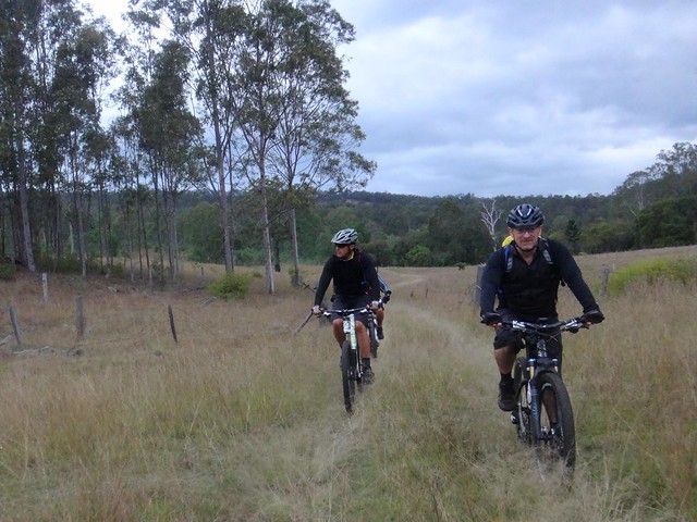
Eventually we reached more rideable terrain in the lower parts of the forest and enjoyed the pleasant roll out through the leaf litter towards Back Creek Road.
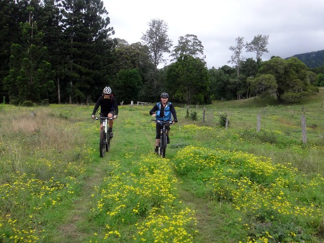
As we rolled through the flowers, I think we were all secretly relieved to be at the bottom of the descent in one piece.
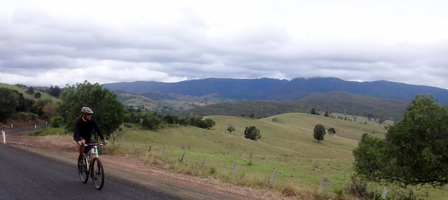
After crossing the Mount Lindesay Highway we followed some quiet twisty roads back to Rathdowney via Barney-View.
Unlike our previous visits, the today the Mountains were shrouded in clouds.
We got a bit lost for a while at the end of Glenoak Road but found the course again after we retraced our tracks.
The light grew dim as we completed the final section back to Rathdowney. The ride had taken a lot longer than we had anticipated – almost 8 hours (including breaks) to cover 53km. All up we climbed a total of about 1,500m and I burned about 4,000 kcal.
This is a difficult ride in remote and rugged terrain. It should not be done solo. The top of Philp Mountain Road passes through private property and should not be crossed without permission of the land-owners.
I’ll rate it 9.5 out of 10 on the tough-o-meter.
Thanks Eric, Darb and Paul for another memorable day exploring this beautiful country!


No comments:
Post a Comment