
Eric has been planning an overnight ride from Toowoomba to Brisbane for the last six months.
I’ve ridden sections of the route with him before and joined a few of those courses together into one big route that he could do in a couple of days. I was unable to do this ride with Eric, but Becca decided to join him on this adventure, and they set off from Toowoomba early in the morning after being dropped off the night before.
The ride started with an exciting descent through Jubilee Park, falling almost 500 metres in the space of 8km. When your ride has such a big descent at the start you know you’re going to have to repay it at some stage.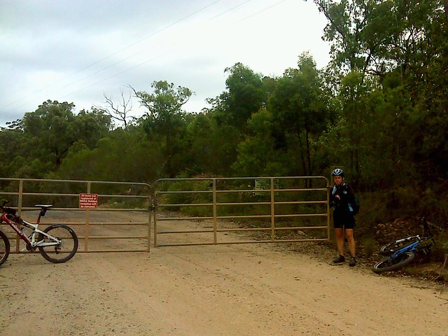
It’s risky to “stitch” together a whole of of smaller rides into a larger rides. When I planned this ride for Eric, I joined the segments using roads that were visible on google maps. I didn’t realize I’d be sending them up someone’s driveway, or through a quarry.
At Hodges Road the course I had prepared ended at someone’s house. Our riders had to detour via Murphys Creek, adding another 10km to the ride. Then the track took them to the locked gate outside a quarry. It’s hard to believe that Eric and Becca trusted my problematic route after these hurdles, but they did. If you’re interested in re-tracing their footsteps, I’ve prepared a more appropriate “Suggested Route” at the end of this article.
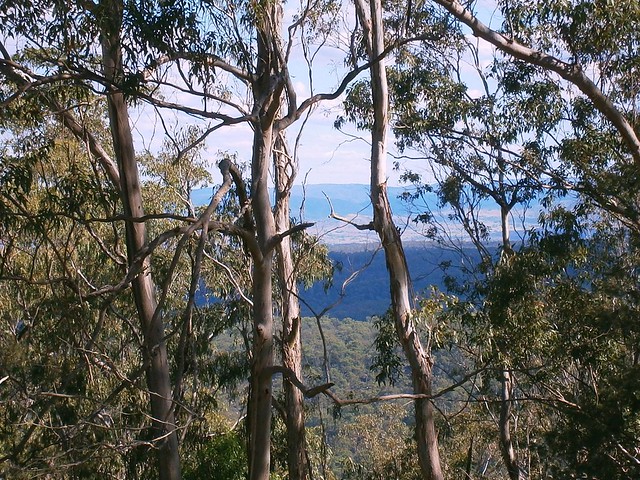
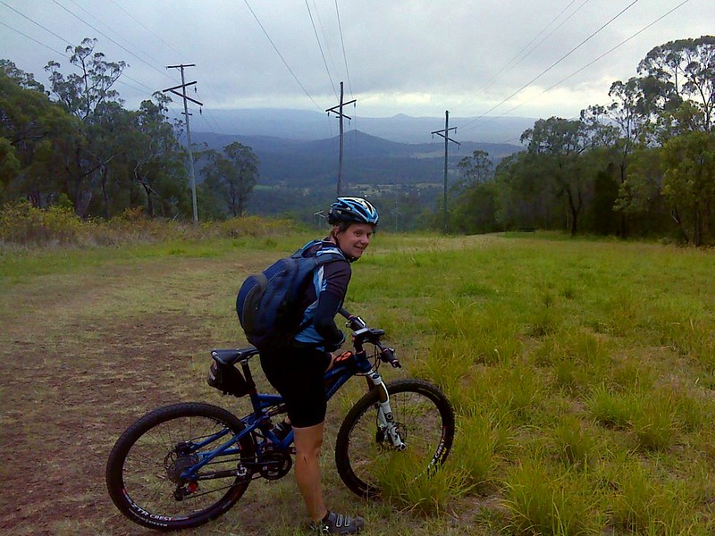
At this point they had to pay the cost of of the big descent at the start. The track clawed back almost 500 metres of climbing as it wound through Lockyer State Forest past White Mountain and Seventeen Mile. The views up here are fantastic stretching over a patchwork of farms towards the east.
The downhill ride is also fun, crossing Redbank Creek over a dozen times as it follows the red clay track eastwards towards the lakes of the Lockyer Valley.
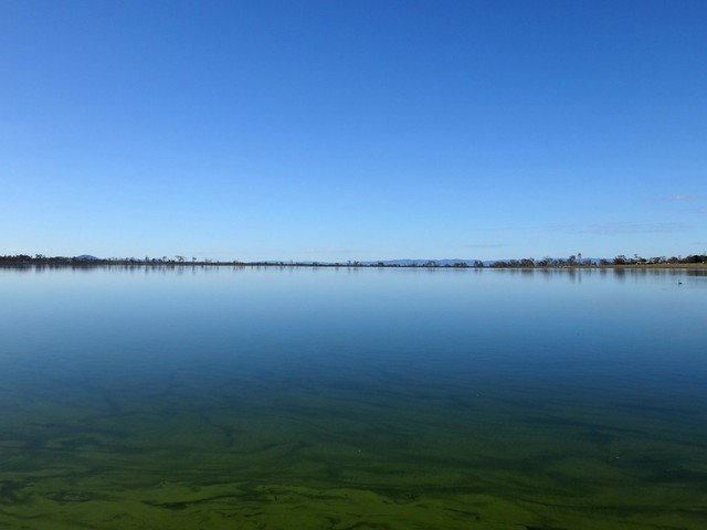
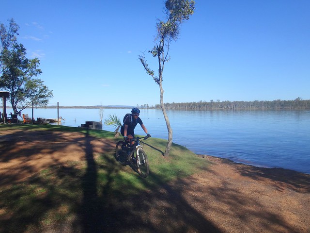
At the bottom, Eric and Becca followed the shoreline of Lake Clarendon eastwards through Lockyer Waters.
Lunch break was at the Lake Atkinson Caravan Park. The day was heating up. The forecast maximum was 40 C, so it was good to get out of the sun for a while.
Originally Eric had planned to stay overnight in Coominya, only 8km from Lake Atkinson. All accommodation there was booked out because of school holidays, which made the nearest motel vacancy 33km away in Esk. This caused additional problems because it deviated from the intended course, and meant they’d have to ride an additional 25km the next day to get back on to the original course.
Because of the extra distnce they’d need to ride, Eric didn’t want to make the lunch stop too long. In the rush, both he and Becca forgot to top up their water, an oversight which caused problems down the track.
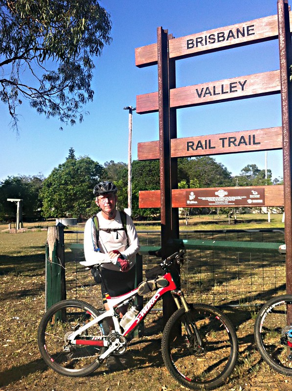
To compound the difficulties, once they reached the Brisbane Valley Rail Trail Becca broke the “mech” in her rear derailleur. This bit of mecahnical wizardry allows you to change the gears. Without it you would be stuck in one gear. Considering the huge climbs that lay ahead the next day, this might have proved disastrous.
Luckily, Eric was able to improvize with a rubber band. This allowed Becca to get the bike to Esk with a couple of gears, but it wouldn’t be any help the next day, so she called home and asked her long-suffering husband, Tom, if he’d mind very much purchasing a new derailleur and driving it out to Esk so they could continue the ride the next day. In true heroic fashion, Tom agreed to meet them at Esk with the replacement part.
Because of the extra time doing repairs, they both ran out of water sooner than they expected. There are no towns or stops on the Rail Trail between Coominya and Esk, so they had to ride the final 20 km into Esk without a drink. Riding “dry” on a hot day after covering already about 100km is hard work.
By the time they got into Esk, they were parched, exhausted and hungry.
I’d love to know what Tom thought when he caught up with them in Esk a couple of hours later with the spare derailleur ![]()
Eric fitted the new part overnight, and they were able to start out early the next day in the cool morning air with both bikes working perfectly. More hot weather was forecast later in the day, so it was important to cover as much distance as possible before the sun reached its peak.
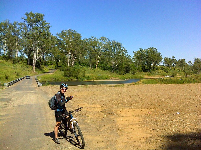
A couple of hours later they crossed the upper reaches of the Brisbane River at Savages Crossing near Fernvale. There have been times when we’ve had to wade across this bridge knee-deep in floodwater carrying our bikes. Today the river level was much lower. Even so, a few people had set up camp on the shore to fish, swim and escape the coming heat.
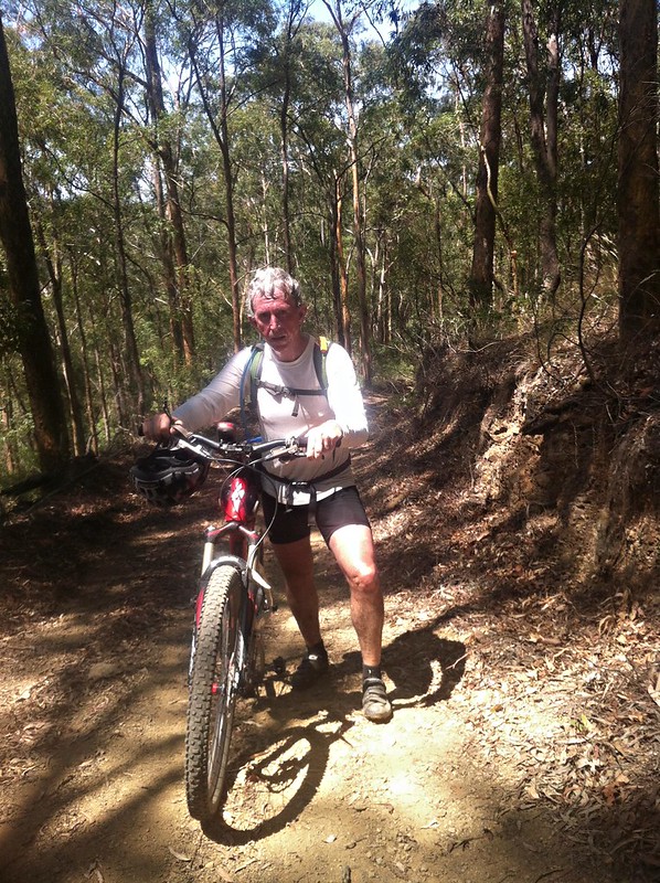
As the morning warmed up, our riders reached the toughest part of the ride – Whoa Boy Break. This is a wonderful track to ride down. It’s steep with about fifty water bars crossing the track on the way down. At times it’s so steep it’s impossible to stop the bike.
Today, they had to ride up Whoa Boy.
“I rode some of it”, Becca confided later. They had to push the bikes up the hill for most of this section.
“Thank goodness for the water tank at the top of Dundas Road”, Eric told me afterwards.
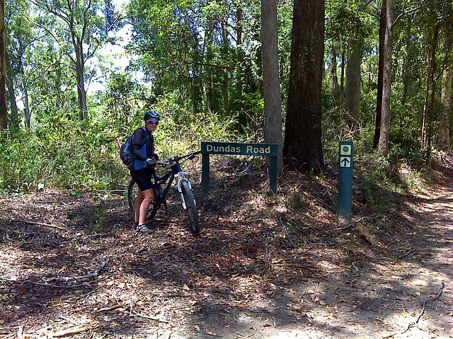
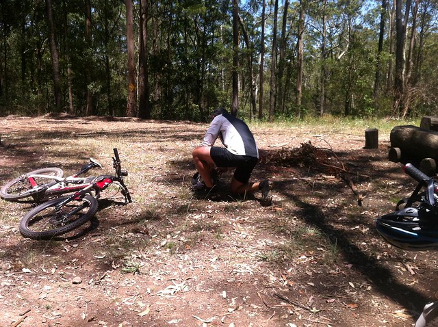
After the previous days errors with water, both riders made sure to top-up their water from the tank. The rainwater in these tanks is usually quite drinkable. Even so, it’s advisable to use purifying tablets with the water to treat any pathogens that might be present.
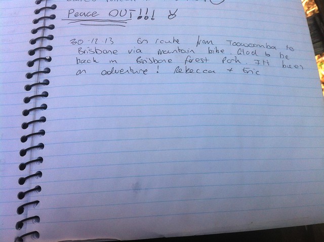
Becca took the opportunity to sign the log book. It’s fascinating to read what previous visitors have written.
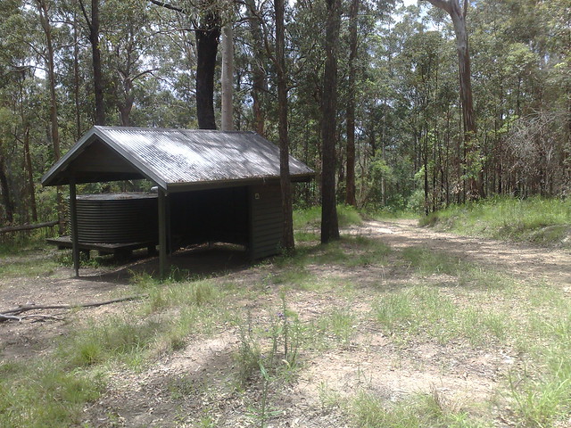
After riding together along the top of the range via Mt Nebo, Eric and Becca parted company at the Scrub Road shelter on South Boundary Road.
Becca rode southwards towards Gold Creek and on to Moggil.
Eric rode eastwards along Scrub Road, and home via Camp Mountain and Ironbark Gully.
They both were exhausted.
“I had to walk the bike up the hill to Camp Mountain”, Eric told me.
The total distance for the weekend was about 220km. Becca estimated she climbed over 3,000 metres of vertical ascent.
“How did you do it?” someone asked her.
“Bloody hard work and will power”, she replied. That sums it up perfectly!
This first map shows the actual route taken by the riders:
View Larger Map
After discussing it with Eric, we both agree the following route would be a more suitale route, and might even be do-able in one day, covering 156km about about 2,000 metres of climbing.
It would be adviseable to do this ride in dry, cool weather, and to take plenty of water.
Well done Eric and Becca. That was a huge effort. I’m sure you’ll enjoy the memory of this adventure for many years.


No comments:
Post a Comment