
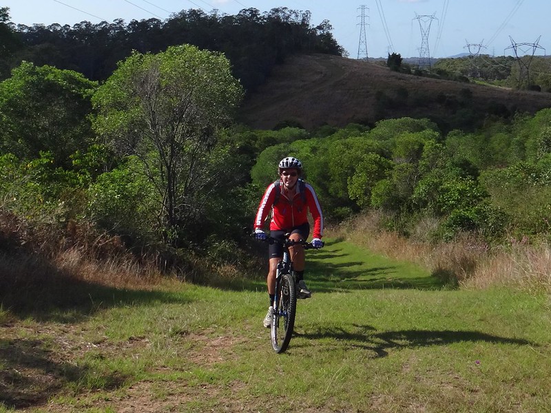
In an unusual twist this week, Eric and I opted for a Sunday Ride closer to home.
Two of my favourite spots around here are Lake Samsonvale, and Mosquito Creek, so we decided to combine the two. The first time I tried this ride almopst 4 years ago it took me almost 5 hours. Today it took about 3 and a half hours, so I felt quite smug considering I’m only using one and a half legs at the moment.
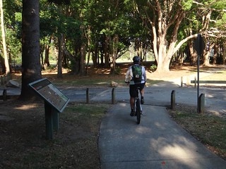
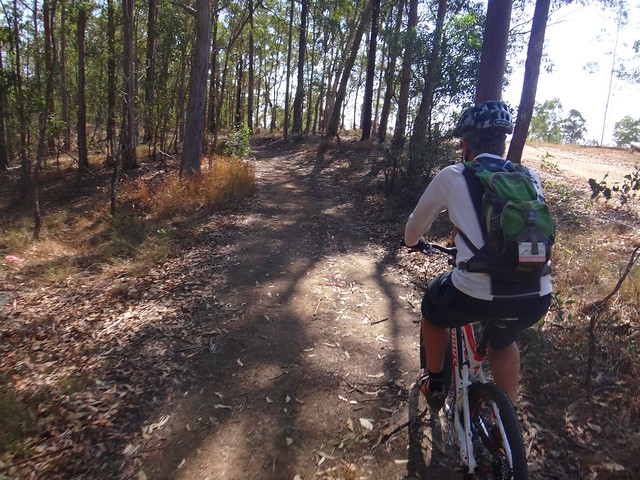
We spent the first part of our ride dodging magpies on the bike paths which follow the North Pine River between Sweeney and Mungarra Reserves. Armed with a trusty piece of hose-pipe which I twirled around my head helicopter-style, the feathered fiends left us alone.
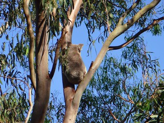
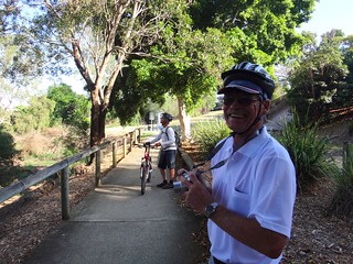
My neightbor, Mike, is a member of Koala Tracker. When we came across him, he was grinning because he had spotted a Koala near the track. They used to be really common around here but are slowly disappearing because of indiscriminate land-clearing. Good on ya, Mike!

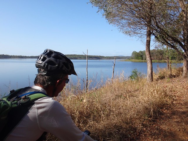
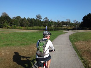
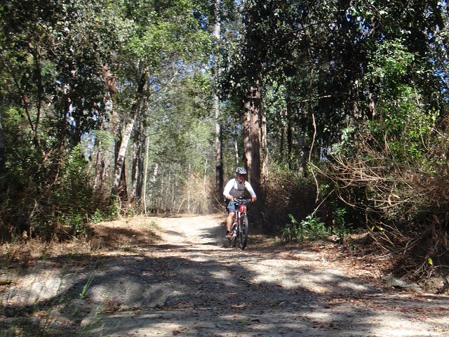
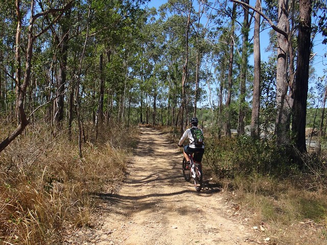
Before long, we reached Lake Samsonvale and enjoyed riding the bikes along the twisty tracks that follow the shoreline.
As the hills got steeper, I started to lag behind, but Eric kindly waited for me at the top. I’m pretty sure I could have nailed this hill today if I didn’t lose traction. Maybe next time ![]()

After leaving the lake we headed down towards Dunlop Lane which snakes lazily along some small irrigation dams before it becomes a faint trail as it climbs through Slickers horse riding park. We didn’t see any horses today – I think they were all working hard.
From there we followed Smiths Road northwards. Like Dunlop Lane, “Smiths Road” is a road in name only. The road reserve is based on the historic “Old North Road” that was blazed through here in the 1840′s. That was based on the traditional trail made by local aborigines over many centuries as they passed through the area.
The most enjoyable part of Smiths Road is as it descends to the crossing over Mosquito Creek. It’s possible to pick up quite a bit of speed on the bike, shoot across the causeway, then zip up the steep bank on the other side.
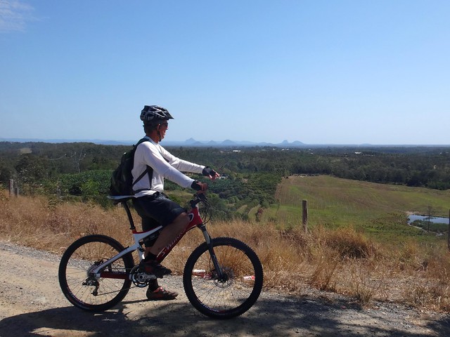
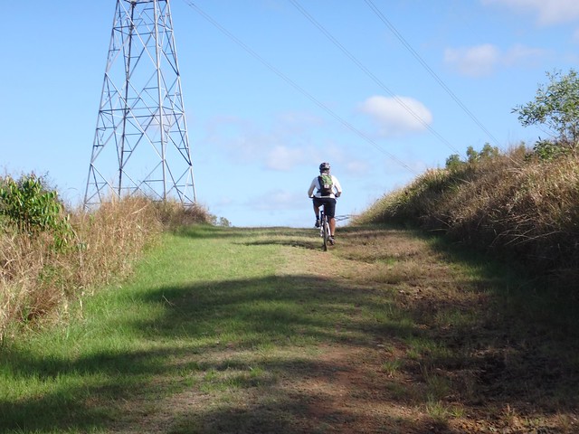
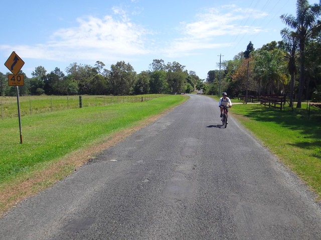
Eric and I felt like stretching the ride out a bit longer today, so we kept going north until we hit Raynbird Road. After a bit of huffing and puffing up the hill (mostly on my part), we took a quick break at the top to enjoy the views of the Glasshouse Mountains and Moreton Bay.
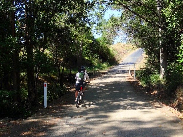
From there we headed homeward via Browns Creek Road.
Browns Creek is named after “Shake Brown”, a Sri Lankan man who married aboriginal woman Kulkurrawa in the 1840′s. He was killed in this area because Kulkurrawa’s countrymen (like many a protective brother-in-law) suspected he wasn’t caring for her properly. You can read more about the Kulkurrawa and Shake Brown here.
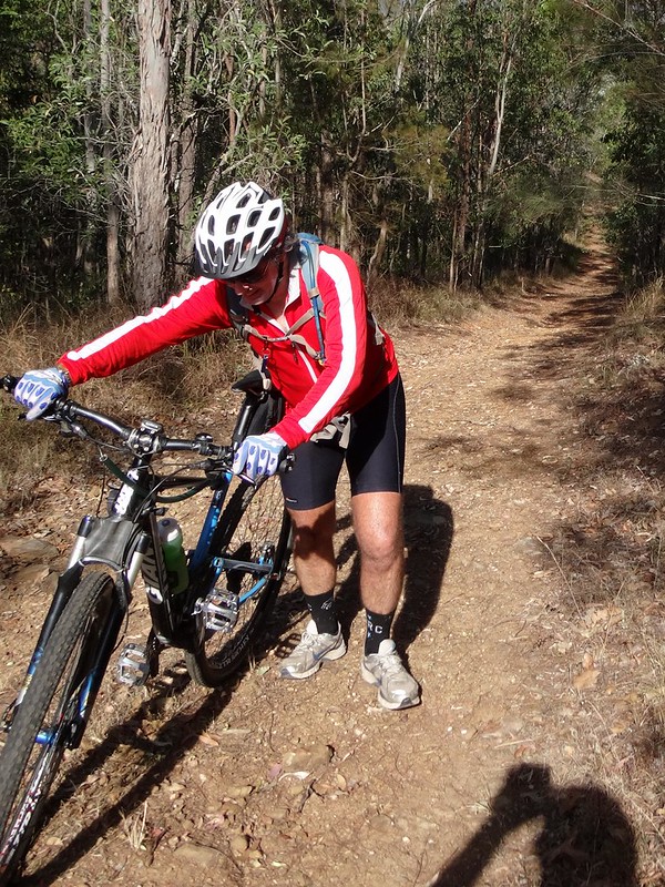
Browns Creek Road devolves (or evolves, depending on whether you ride a mountain bike or not) into Browns Road. It’s rougher and much more fun – especially if you ride it down-hill like we did today.
From there we continued our homeward trek along some quiet back-roads.
Today wasn’t the most epic of rides, but I enjoyed sharing it with Eric. I’m grateful to have such a scenic backyard. In fact, after two months of staying off it, I’m grateful to just be riding again. Living in paradise, and being able to explore it on a bike. How good is that?
45km, with over 800m of ascent, in about three and a half hours. I burned about 2,000 kcal, and felt pretty tired afterwards.
For the fit, this one rates about 6.5 out of 10 on the tough-o-meter. Rehabilitating limpers like me should rate it about 8 out of 10.
Thanks for a great morning on the bike, Eric!


No comments:
Post a Comment