
The aim of today’s adventure was to join up a couple of sections on my “map”. I’ve ridden through Wooroi forest at Tewantin several times (and loved it). I’ve also ridden through the spectacular Noosa Trails Network near Cooroy, Pomona and Kin Kin. But I hadn’t explored the country in-between these two places, so I thought I’d check it out.

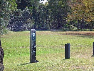
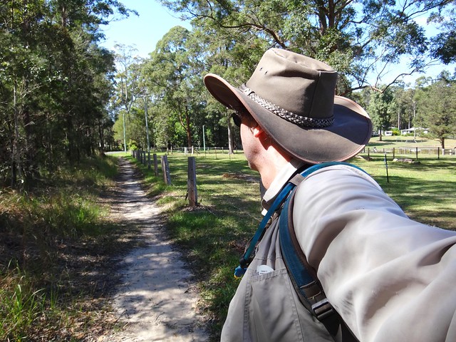
I parked the car half-way between Cooroy and Pomona and set off towards Lake Macdonald. This area has a wonderful network of trails, so I just followed the trail markers.
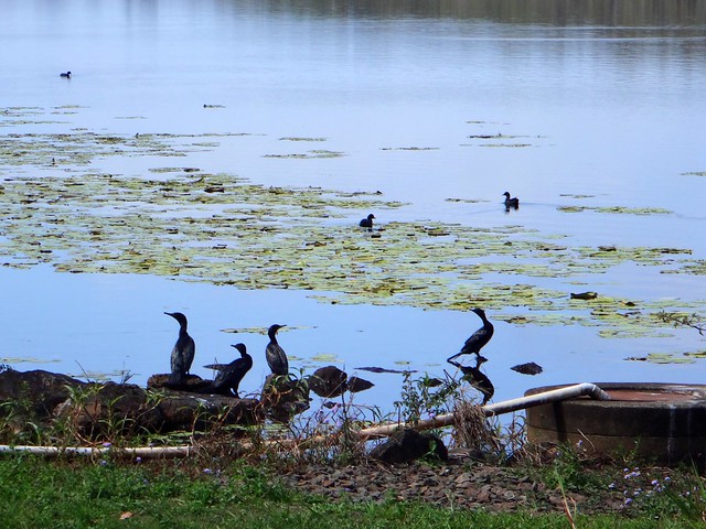
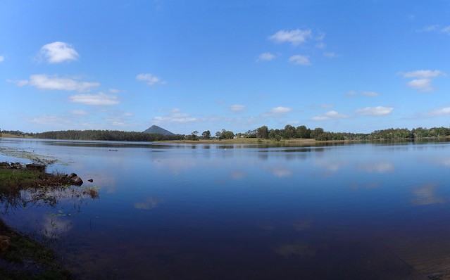
Lake Macdonald is an artificial lake formed when Six Mile Creek was dammed in 1965 to provide water for the Noosa shire. Today it’s home to a wide variety of birdlife and fish, including the rare Mary River Cod.
From the lake, I headed east along Collwood Road. I had plotted an ambitious course into my GPS that would take me down this road, around the back of nearby Mount Tinbeerwah (which I wanted to climb) and then to my final destination at Tewantin State Forest….
I happily followed my GPS along the quiet trails, oblivious to the fact that I had configured the GPS incorrectly. Instead of following my course, the GPS was in “navigate” mode. It was taking me on the shortest route between the two points. I was unaware that I was “off course” and just kept blindly following my GPS…
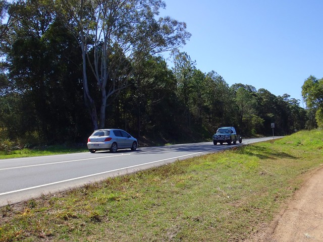
… and got spat out on a main road. I was very disappointed! My original course would have taken me through some great forests, but my GPS had taken me to a busy Sunshine Coast thoroughfare. I was on foot, and had limited range because of my injury, so I had no choice but to soldier on. I had determined that my sensible limit for the day was about 10km. Doubling back would have added another 5 or 6 km to that, which wouldn’t have worked for me.
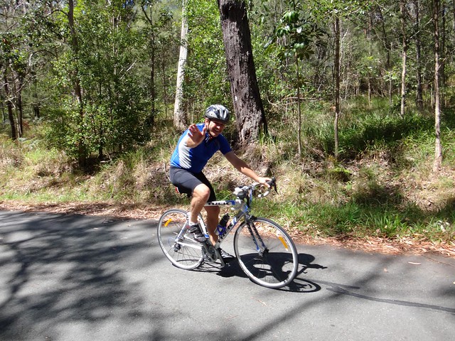
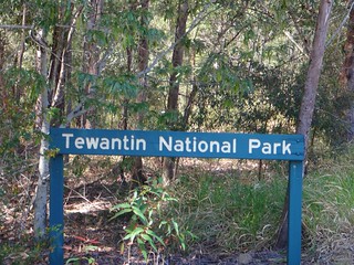
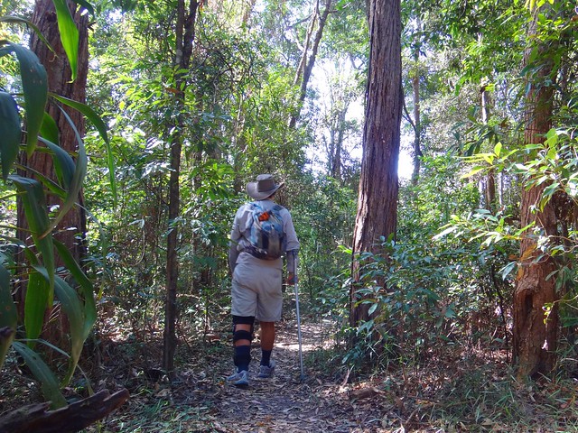
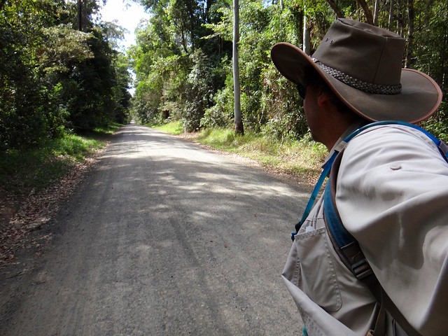
After a slow couple of kilometres walking along the main road, I eventually reached Wooroi Forest at Tewantin. I’d passed this spot several times on the mountain bike. Today I met a happy Roadie riding up Gyndier Drive. This road used to be an old race track, winding up the hill. In fact once or twice per year vintage cars still race to the top. Most other days, cyclists use the hill to test their strength. It’s not terribly steep, but the long consistent gradient provides a good challenge.
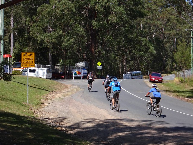
I also passed a few mountain bikers on their way to the forest trails.
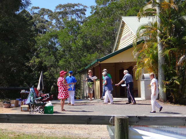
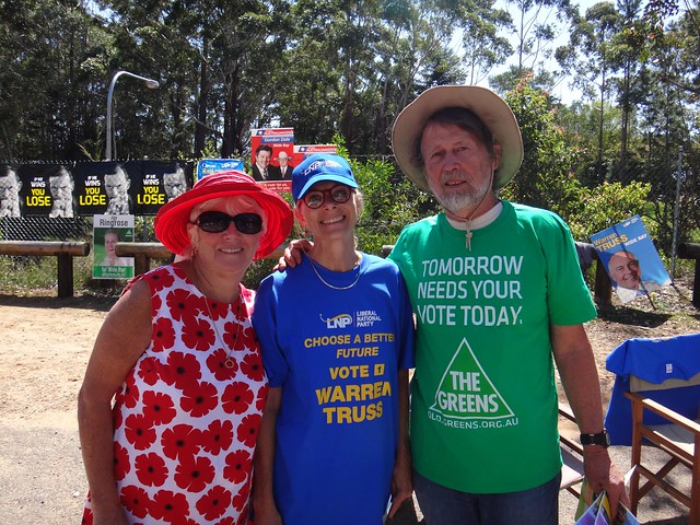
Today was polling day. By a strange co-incidence, the end-point of my hike was at a polling booth busy with people arriving to vote in the Federal Election. A few of the booth workers from the different parties agreed to get together for a group photo. I told them I thought they were amazing to spend their time working for a cause they believed in. Even though they were diametrically opposed to each other on some issues, they had more in common than they’d normally admit, which is why I think they were quite happy to pose together for this photo.
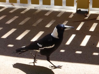
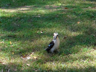
The bird-life didn’t get a vote today ![]()
I’d walked about 9km so far, but I still wanted to climb to the summit of Mount Tinbeerwah. I decided to catch a cab back to the car, and drove to the car park at the base of the mountain.
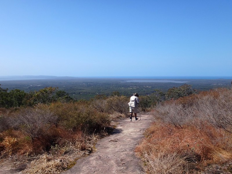
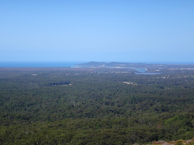
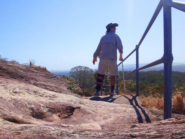
It’s a 500 metre walk from the car park to the summit of Mount Tinbeerwah. The path is paved all the way, with seats placed at strategic intervals for tired hikers.
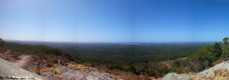
The 360 degree panoramic views at the top are worth the easy climb. I can’t think of an easier climb on the Sunshine Coast which yields such an amazing vista. If you measured it in terms of view quality versus the effort it takes to get there, the Tinbeerwah Summit is about the best value you can get.
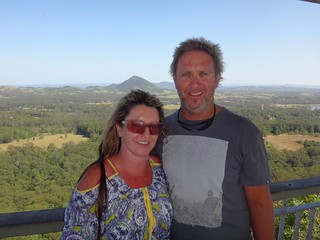
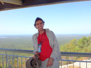
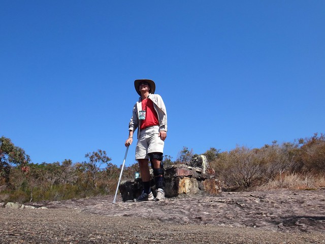
I met Ian and Angela at the top. They kindly agreed to let me take their photo, and to take one of me. Angela once had a similar knee injury to me, so we exchanged notes while clicking away on the camera.
Another enjoyable adventure came to an end. It didn’t go as planned. In hindsight, that was ok because half the fun was dealing with the surprises. As I think about it, an adventure isn’t about getting from the start to the finish – it’s about what happens in between!
All up I walked 10km in 3.5 hours including breaks. I’d really like to explore some more of this area in future.
Related Posts:
 Wooroi Wooroi |  Fat Bike! Fat Bike! |  Lockyer Waters Lockyer Waters |  Weyba and Noosa Weyba and Noosa |  Cooling Off Cooling Off |
No comments:
Post a Comment