Please note: you can find a more up to date version of this blog at http://blog.neilennis.com

Sunday, March 31, 2013

Nanango to Jimna

Read More

Brisbane River

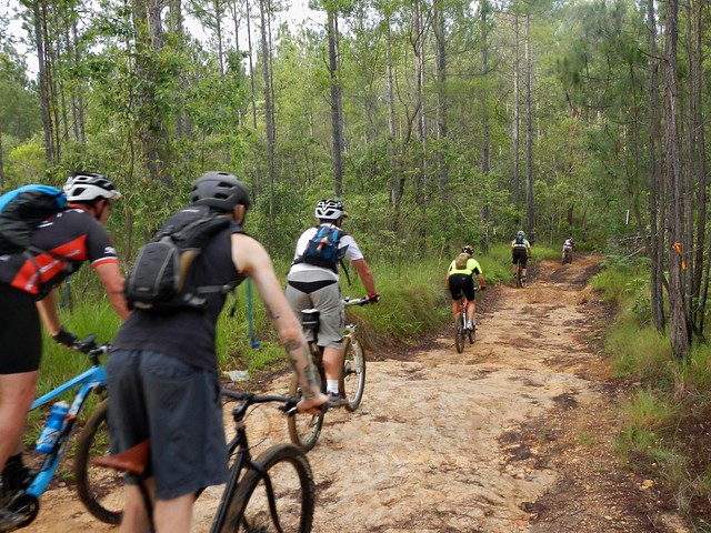
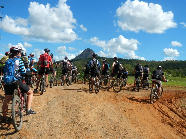
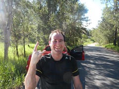
If you traced the Brisbane River as far upstream as you could, you’d end up near Mount Stanley, to the west of Nanango in the South Burnett. Today’s epic adventure was a point-to-point ride starting at Nanango, rolling down the slopes of Mount Stanley and following the upper reaches of the Bribane River to Linville, before heading up the Conondale Range to the small forestry town of Jimna.

Jimna Visitor Information CentreLocal Knowledge

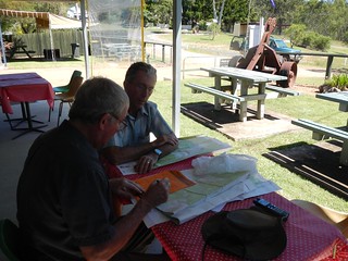
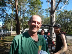
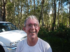
Before setting out we met with Dave Wright, a Jimna community leader who runs the local visitors information centre. He’s lived here since the 1940′s when his father was a timber worker, so Dave is well-acquainted with the forest trails in this part of the world.


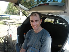
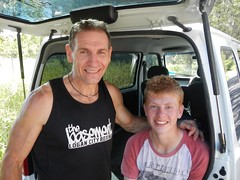
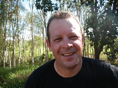
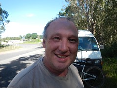
I left my van at Jimna, and got a lift in Eric’s car to Nanango where we stayed the night, so we could get an early start the next day.

Cheers!Ready to Go

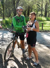
We stayed at Uncle Bobs Cottage – a B&B in East Nanango on the edge of the State Forest. Our hosts, Rod and Celia Price run an organic vineyard there, and kindly let us try some of their delicious Verdellho.

RodEast Nanango Forest

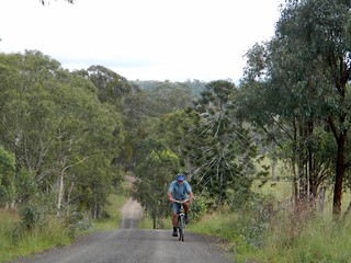
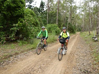
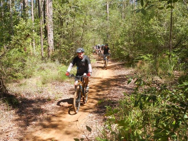
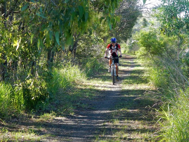
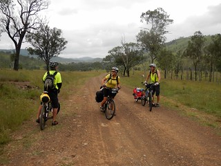
Rod decided to dust off his old mountain bike and ride with us part of the way up the nearby hills. His property is surrounded by a network of trails through local hoop pine forests, so his B&B is an ideal base from which to explore the local forests – especially if you like good wine :)

Enjoying the View

Enjoying the ViewSomewhere near Nanango

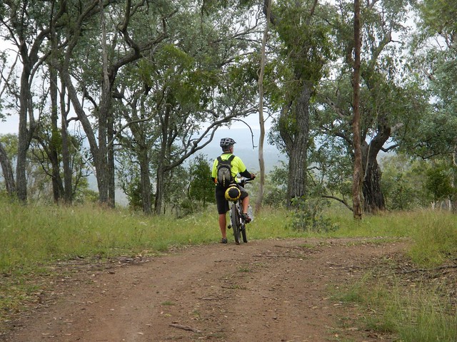
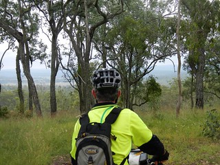
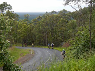
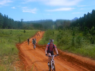
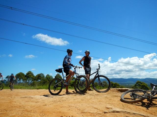
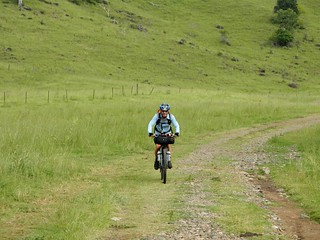
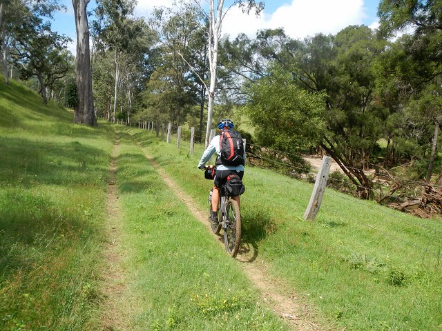
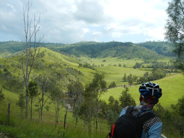
After leaving Rod, we slowly made our way towards the edge of the Great Dividing Range which gave us some great views of the South Burnett.

Enjoying the View

Mount Stanely Road

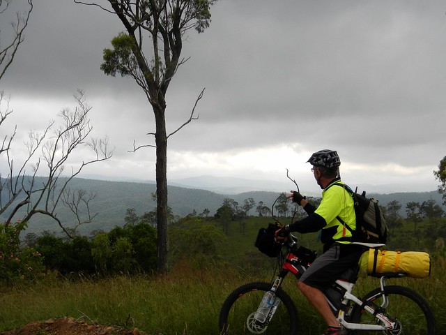
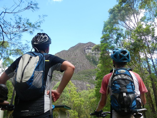
Eventually we were able to look down into the valley surrounding the upper reaches of the Brisbane River near Mount Stanley, before enjoying a long steep descent down to the river.

Brisbane River

Brisbane River

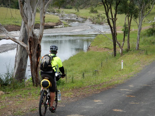
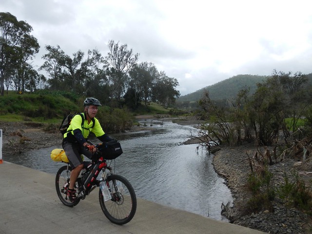
It’s hard to believe this is the same muddy brown river that meanders through the city. Up here it’s pristine, crystal clear, and delightful.


Enjoying the view

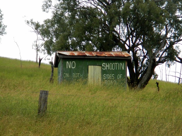
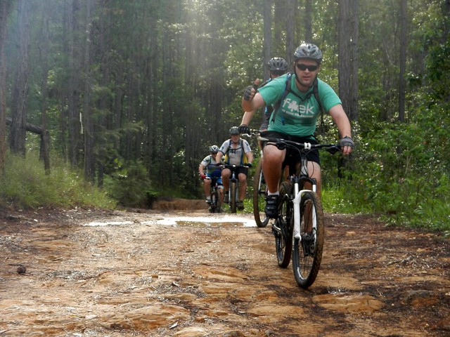
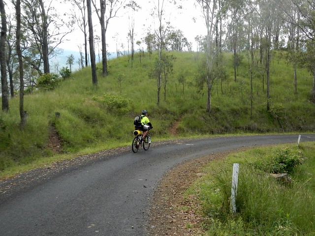
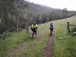
The road follows the meandering course of the river, undulating over gentle hills. It’s an easy ride with pleasant views.

Andrea and Wayne

Andrea and WayneAndrea and Wayne

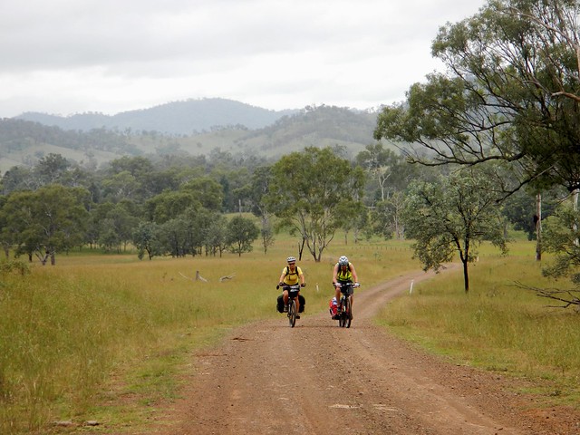
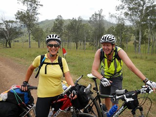
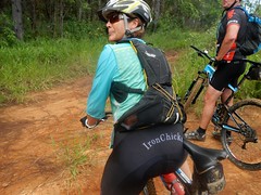
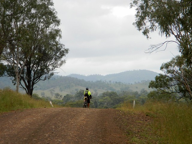
We were pleasantly surprised to meet a couple of touring cyclists, Andrea and Wayne from Bli Bli who were making their way up to Nanango. After the steep descent we’d already made down Mount Stanley Road, Eric and I could only wonder at what sort of hard work they had ahead of them to get up the range.

Brisbane River

Brisbane River

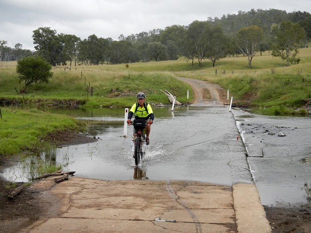
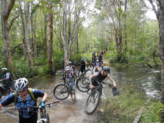
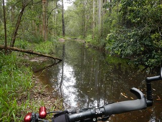
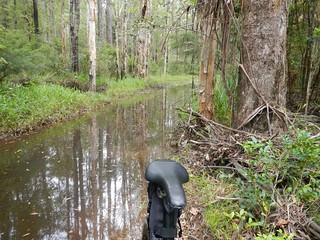
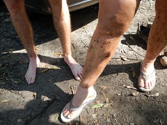
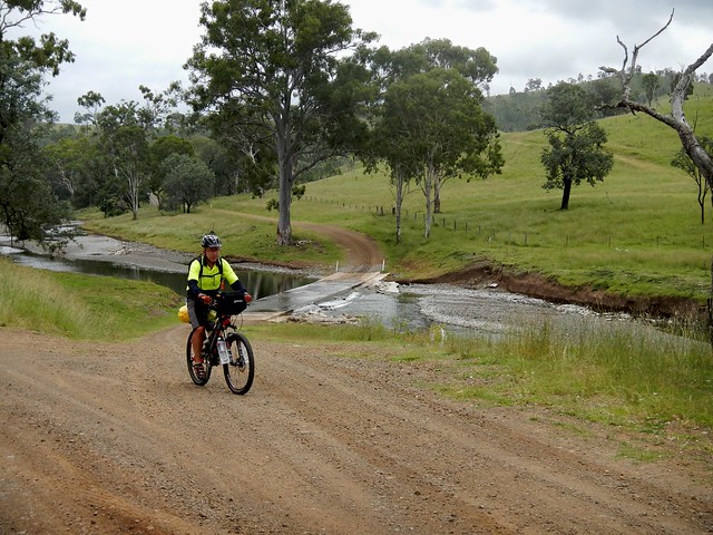
We crossed the river at least a dozen times – sometimes over dry causeways, sometimes through water. This is one place you wouldn’t want to ride after heavy rain.

DSCN3047_copy

DSCN3045_copyWhere to?

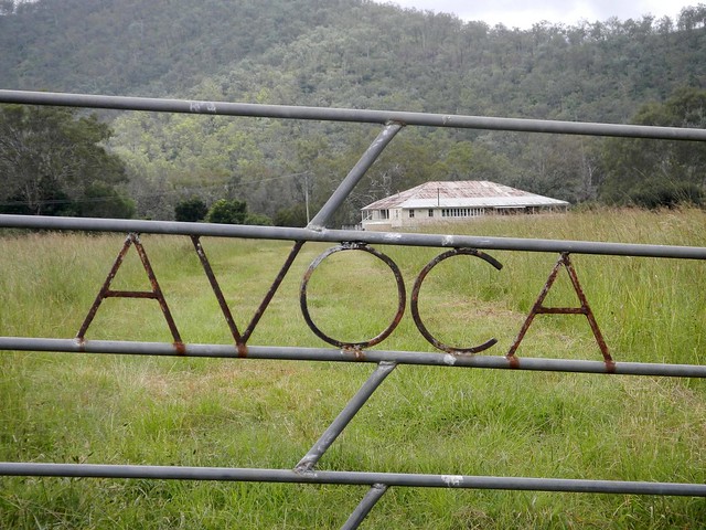
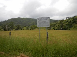
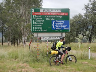
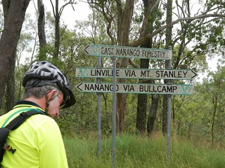
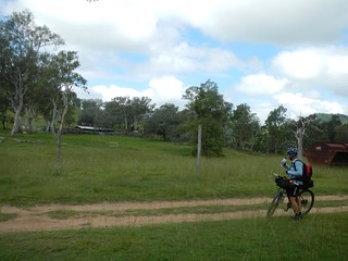
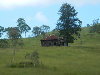
We passed a few old buildings and historic sites which hinted clues about the history of the district. When we finally reached the junction of the East and West branches of the Brisbane River, I was surprised at how many different places you could get to from this remote spot.

Brisbane RiverBrisbane River

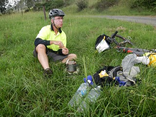
We stopped for lunch by the Brisbane River near where it meets with Monsildale Creek. Eric was carrying a lot of gear because he was camping that night. This meant he was able to boil the billy and make us a hot drink. Our friend Rients joined us here too. He had ridden up from Brisbane the day before, via Esk and Moore (about 150km), and was also planning to camp with Eric that night.

Monsildale Creek

Monsildale RoadMonsildale Road

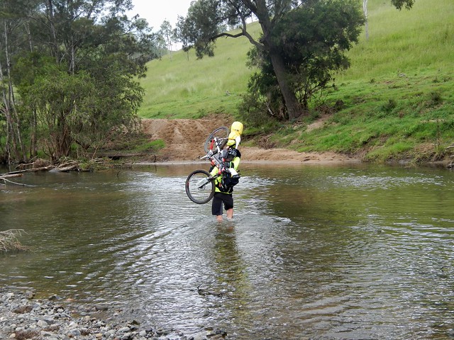
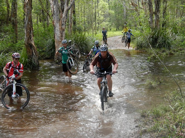
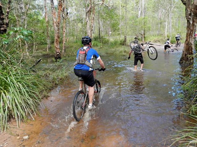
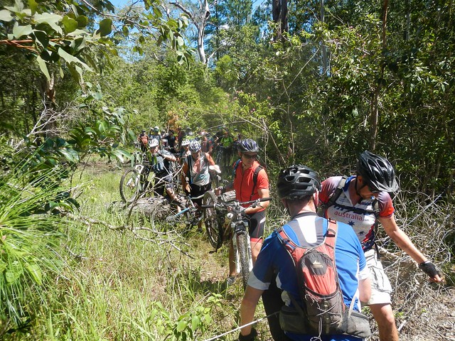
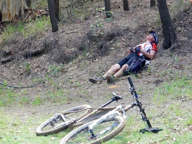
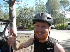
From here we rode eastwards along Monsildale Road. The road follows Monsildale Creek, and we had to wade across it several times. At one deep point Eric was up to his chest in water as he carried his bike across. I let him cross first, and watched carefully to make sure it was safe :) Eric’s bike was heavily laden with overnight camping gear, so it was hard work hoising it above his head and wading across the creek.

Monsildale Creek

Monsildale Road

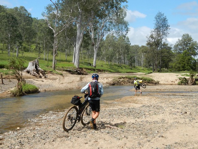
As we headed east, the “road” devolved into a track until it was quite clear we were riding along someone’s very long driveway.

Gillyland Farm

Gillyland FarmGillyland Farm

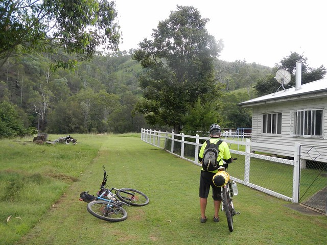
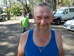
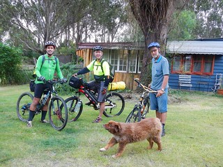
We eventually reached the farmhouse. This cattle property is owned by the Gillyland family, who kindly let us ride through. We said “g’day” to family elder, Stumpy, who was cleaning a huge fish out the back. “So you’re heading to Jimna, hey?” he asked. “You’ll have to go up the side of Mount Buggery to get there” he commented – hinting about the steep climb we had ahead of us.

Monsildale Creek

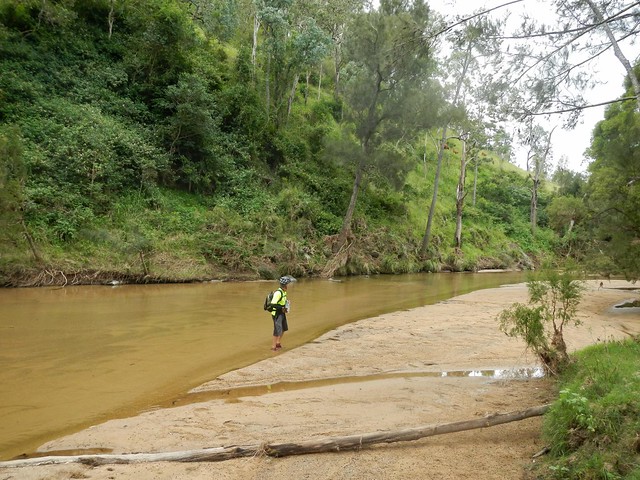
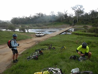
Monsildale Creek was crystal clear as we rode beside it. We took this opportunity to re-fill the water bottles before the climb.

Monsildale Creek

Monsildale Creek

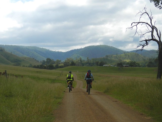
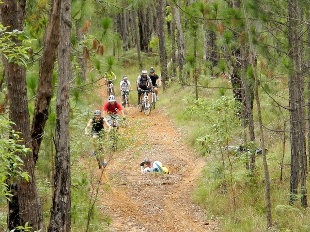
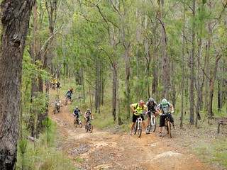
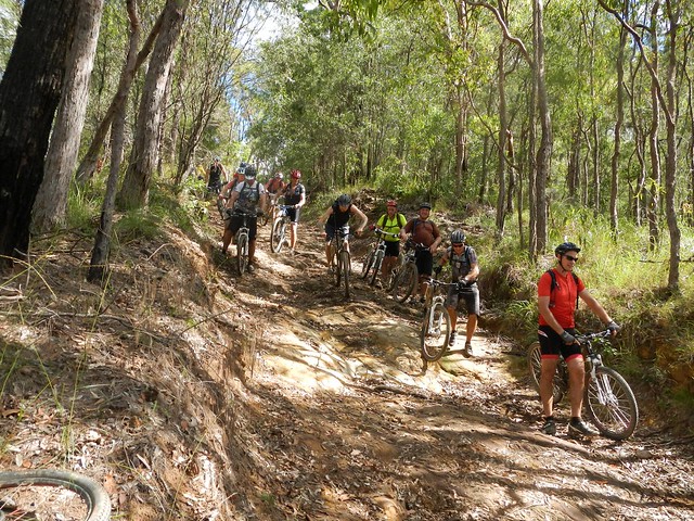
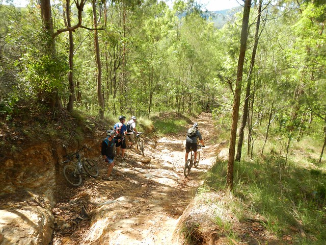
Our track gradually morphed from a pleasant country road to a steep winding forestry track as we slowly made our way up the Conondale Range. “Mount Buggery” I kept muttering to myself as I remembered Stumpy’s words. It definitely was hard work after the distance we already had put in.

Jimna / Murgon

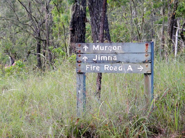
At this stage, Rients and Eric motored up the hill with their super-human legs. I slowly followed wondering what sort of diesel engine these guys were carrying. A worn out old foresttry sign gave me hope that our destination wasn’t too far away.

Resting after the Ride

Dave WrightCharlie

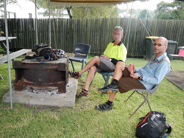
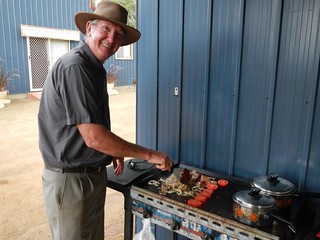
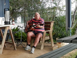
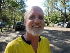
And before we knew it we had arrived in Jimna. Dave was busy at the barbequeue, frying up hamburgers for us, and Charlie entertained us with an old song, “Sweeney” by Henry Lawson.


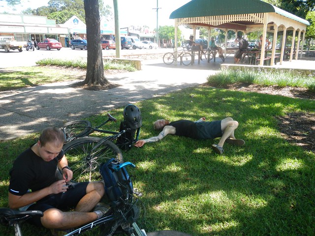
We rode 90km in just under 9 hours including breaks. I burned almost 3,500kcal and we climbed almost 1,800m. This was a tough ride. If you’re doing the entire trip from Nanango to Jimna, I’d rate it 9 out of 10 on the tough-o-meter, because of the steep climb at the end, the many creek crossings, and the logistics of getting enough food and water to last the distance.


If you take the easy option and ride from Nanango to Linville, I’d rate it 7.5 out of 10.


Either way, this is not a ride to do after heavy rain, and as a point-to-point ride, it requires planning to get to and from the end-points.


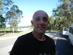
Thanks Eric and Rients for a great ride.


Thanks Rod and Celia for your warm hospitality.


Thanks Dave and Charlie for the delicious food, and stellar entertainment :)


And thanks to the Gillyland family for letting us pass through their beautiful property.


Sunday, March 24, 2013

Woodford

Read More

What could be more challenging, or more fun than leading a several dozen riders with a wide range of skill levels on a 65km cross-country trek through some tough but beautiful country?

Creek Crossing, Woodford

After last years amazing ride from Beerburrum to Woodford and back, some friends asked if I would organize a similar ride this year. The only problem was that last year we did it in the dry season, and this year it was at the end of the wet season with flooded creeks, muddy tracks, and downhill sections that were mountains of wet clay.

Flooded Tracks - WoodfordFlooded Tracks - Woodford

A few days earlier I checked out the route with some friends – some of the old dry trails had turned into long mosquito-ridden swamps, and I was keen to ensure that I didn’t spoil people’s fun by forcing them to trudge through vast tracks of unpleasantness like this.

Matthew Flinders Rest Area

As I arrived at the Matthew Flinders Rest Area before the ride, I was overwhelmed to find 41 eager mountain bikers raring to set out on this adventure. Forty one! This was going to be a mammoth task – ensuring no one got lost, everyone kept together, and everyone had a good time, even though the group ranged in skill and fitness levels from beginner to advanced. Thankfully, my friends Eric and Darb agreed to “ride shotgun” at the rear, and Eric supplied a couple of walkie-talkies so that we could keep in touch and know what was going on. (What a fantastic idea – we must use these again on bigger rides!)

Beerburrum Trail

Beerburrum Trail

And so we set off. Snaking through the pine forests of Beerburrum. As we reached an intersection that might confuse people I asked one of the people at the front to stop there and act as “traffic cop” to point following riders in the right direction. This is a great strategy I learned from some of the guys at Bushrangers Mountainbike Club on an earlier ride.

Don't Hit the Photographer!

At our first major climb, I rushed ahead to get a few photos of everyone trying to make it up the hill. Keen photograoher, Tim, decided he wanted to lie in the middle of the track and capture riders on the way past. It was a miracle no one hit him, or tried to use him as a log rollover.

Gnarly HillGnarly Hill

Gnarly Hill

Most people made it part way up, but Rick (who had never ridden this hill before) showed the rest of us how it was done. Well done, Rick!

Glasshouse Mountains Lookout

Glasshouse Mountains LookoutGlasshouse Mountains Lookout

After just over an hour of riding, we made it to our first rest-stop at the lookout where people soaked in the view of the stunning volcanic outcrops while others took the time to recover.


Hennessey Hill Crash from Darb Ryan on Vimeo.


The next stop was the Hennessey Hill downhill track. This is a steep man-made track with jumps, berms, drop-offs and rock-gardens. It’s challenging, but fun to ride. Darb thought he’d “push the envelope” a bit and descend with a bit of speed. Here’s what happened. (I’m the silly looking guy in green at the end of the video that almost got run over).

Hennessey Hill

Thankfully, no one was hurt badly, and everyone had a lot of fun.

Pine Forest Trails

Pine Forest TrailsPine Forest Trails

We continued our adventure westward, along some red dirt tracks and up yet more hills. A few of the riders were starting to tire, but no one complained – which is amazing for such a large group.

Creek Crossing, Woodford

Creek Crossing, Woodford

The final obstacle before our rest at Woodford was the creek. Some people, keen to reach the destination, rode through it. Other people (like me) who had an aversion to wet feet removed their footwear and walked through. Either way, it was impressive watching so many mountain bikers cross a creek, like a herd of stampeding cattle.

Rest Break at Woodford

A few people took the opportunity in Woodford to have a quick rest, while others raided the local cafes for all manner of cycling fuel. We split up, and went to different shops so as not to overwhelm the place.

Woodford Trails

From Woodford we headed north-west out of town, avoiding some the boggy spots I’d discovered earlier during the week.

Climbing a Fence

It was fascinating to watch how a group of people with a common goal were so effective as team – especially at obstacles like barbed-wire fences, where a wrong move could puncture a tire, scratch a frame, or rip lycra.

Radar Hill

And then it was time for the last major climb of the day – a 2km tough little ascent called “Radar Hill”. Some people walked, some people powered up, others spun in granny gear, but everyone made it to the top.


The descent from Radar Hill is amazing. Once you start, there’s no turning back. Your brakes won’t stop you. It’s a controlled slide to the bottom. Most people walked it, but a few daredevils rode it. Everyone got to the bottom in one piece.

Mount Beerwah

At the Mount Beerwah picnic ground, some people took the time to enjoy the amazing view…

Resting

…while others took the time to recover.

“Not long to go now” I assured people – many of whom were starting to feel like they were at the limit of their endurance.

Porfiri Road Descent

Porfiri Road Descent

We had one last big descent to tackle – Porfiri Road. This nasty rocky “road” has gobbled me up twice in the past. It’s a very challenging descent. Several people were able to ride it. Most rode it part-way, and walked some of the trickier bits. Amazingly, no one was hurt.

Stokes Road Beerwah

Stokes Road at Beerwah was our last stop before disappearing into the forest again, and completing the final leg of the trip.

Bike Path

From there it was a reasonably easy roll along the bike path back into Beerburrum.


TimMatt & LilRickMTB LegsNeilPeteDerekDarbIanKyleDom & KyleJasonJasonRusselDarrenSimonPaulEricNeil & Claire


All up we rode over 65km in about 7.5 hours including breaks. We climbed about 1,000m in 30 degree heat. I burned about 3,000kcal.


I can’t really give this one score on the tough-o-meter. For some of the newer, less experience riders, this one was off the scale – pushing the boundaries of their ability. For them it rates at least 10 out of 10.


For some of the more experience riders (and comparing it with the brutal ride that we Eric, Darb, Jason and I did last week) it rates about 7.5 to 8 out of 10.


But, more importantly, as a social event for like-minded people who love exploring the outdoors, this ride couldn’t have been any better. I thouroughly enjoyed it.


Thanks everyone for coming. Thanks especially to Eric and Darb for helping to manage the group.