
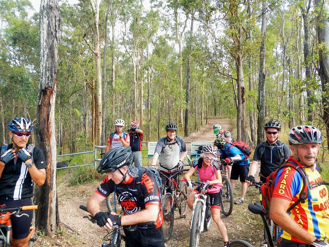
My friend, Neil B, regularly organizes group social rides on Saturday afternoons. This week, he wanted to visit House Mountain, near Samford. I hadn’t ever ridden there before, so I jumped at the chance to explore some new trails with a large friendly group of people.
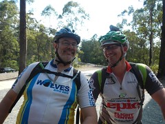
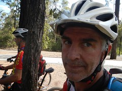
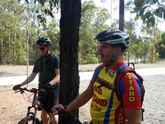
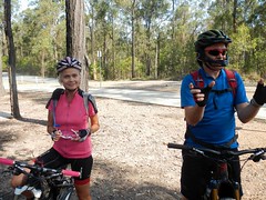
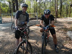
For this ride, about 14 of us met at the “Jurassic” car park at Bunyaville, and started out towards Samford State Forest, a couple of kilometres to the South West…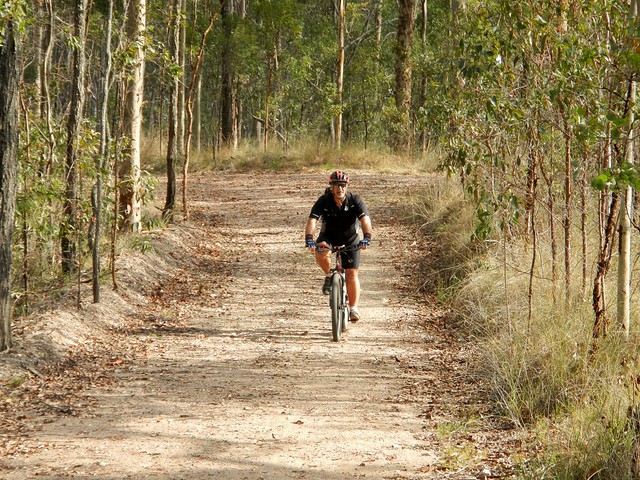
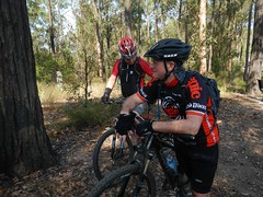
Samford State Forest (Most of us call it “Ironbark” for short) has a lot more hills than Bunyaville. Today we slowly made our way to the high point up the “Three Sisters” track. I think it’s called this because of the three “humps” you have to grind up on your way to the top. They’re not difficult, but as with most climbs, they slow you down a bit, and tend to spread out a group of riders.
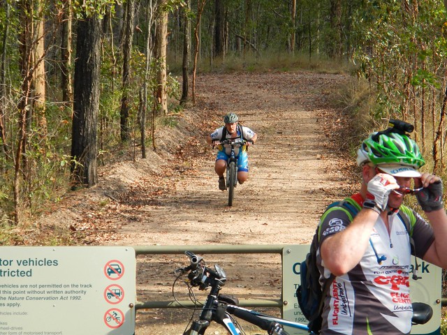
We then enjoyed a quick (80 km/h) roll down Burns Road on our way to the rail trail north of Samford. This part of railway line is popular because of the old tunnel at the end, affectionately known as “The Bat Cave“. The trail is used by horse riders, joggers, walkers and mountain bikers, and is a pleasant way to head north from Samford without having to go on busy Mount Samson road.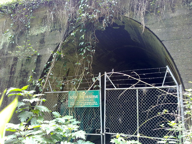
It’s always fascinating to peer into the “cave” through the fence, provided you don’t mind bats, or snakes ![]()
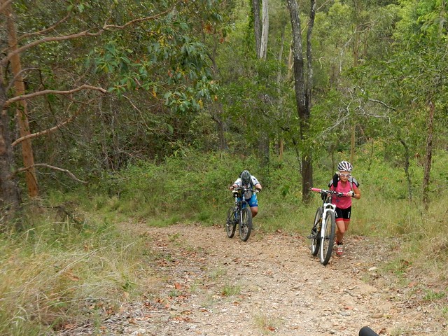
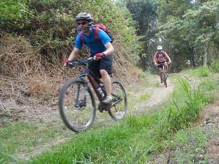
But the real challenge of the ride is House Mountain, just behind the Bat Cave. It has some very steep climbs – some of which we had to push the bikes up….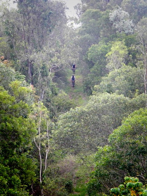
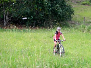
…but it also has some very steep descents, which are a lot of fun to ride down, before shooting out into a green paddock at the bottom.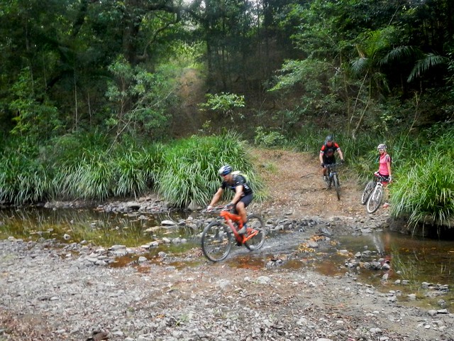
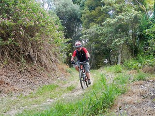
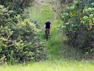
We then followed some pony trails along (and across) the South Pine River back to Samford, before retracing our tracks back to Bunyaville. At some times of the year, this river crossing is impassable. Thankfully we haven’t had much rain recently, so it was easy to cross.
Because I wanted a longer ride, I started from my place, which stretched it out to about 70km over 5 and a half hours (including breaks), with about 1,300m of ascent and just over 4,000 kcal. The more sensible route (from Bunyaville) is about 30km in length with about 750m of ascent, and takes about 3 hours including breaks. It rates about 8 out of 10 on the tough-o-meter.
No comments:
Post a Comment