
I spent today exploring some trails south of Fernvale because I’m planning to visit here in a few weeks with some friends on an over-the-mountain 80km ride from Ferny Grove Railway Station. Since this section will be the final part of the ride, and we’ll probably have a few tired riders, I thought it would be worthwhile to double check the area to make sure everything was ok.
The original plan was to follow the Railtrail south from Fernvale. The problem is that this area had some very heavy rain earlier this year, and parts of the trail are still being repaired, and are unrideable.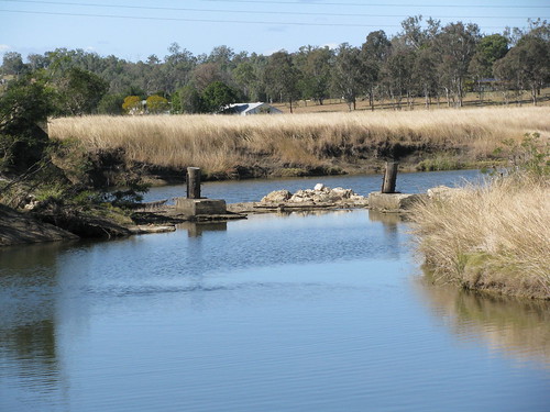
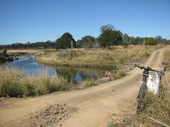
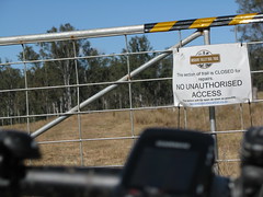
As you can see in the photos, the Railtrail bridge had been washed away, the creek was too deep to cross, and the trail was closed. So when my original plan was foiled by the “Trail Closed” sign, I had to improvise and find a new route!
I headed off down a gravel road and took some wrong turns which found me at a few dead-ends in the middle of a couple of horse paddocks.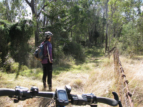
Eventually, I persevered down a track called “By Road” which my GPS insisted was there, but which just appeared to be more paddocks with thick grass, scrub. logs and spider webs. I persevered and eventually scrambled out the other side on a “real” road.
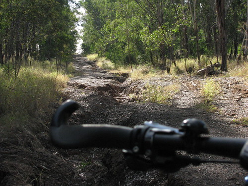
Some of the roads aren’t as imaginary as By Road, but they’re still quite rough. But that’s what makes them so much fun to ride on a mountain bike.
The gravel roads and tracks continued south to Haigslea, just off the Cunningham Highway.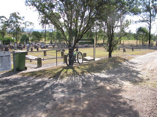
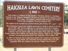
In the mid to late nineteenth century Haigslea was settled by German migrants. Some of them are buried in this cemetery.
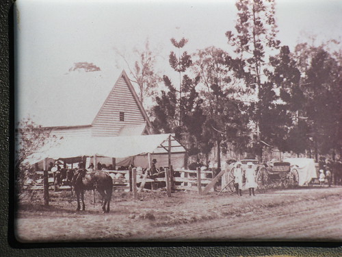
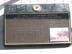
Here’s a picture of the original church around the turn of the century. While the girls in the white dresses may no longer be there, the pine trees are still on the corner where the road meets the highway as you drive to Toowoomba.
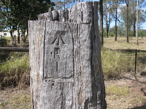
This blazed survey tree is across the road from the cemetery.
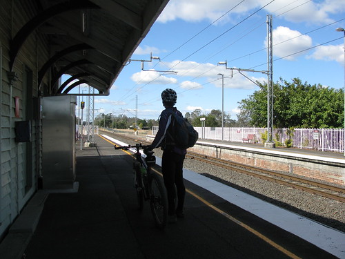
I followed the road which comes to an end and turns into a track, and then into a lovely bit of single trail which winds into the town of Walloon, where we’ll be catching the train in a few weeks ![]()
All up, about 60km, with 750m of ascent, and 2500cal. I’d give it about 6.5 out of 10 on the tough-o-meter. It’s an easy pleasant ride, which is perfect for when I bring a few friends next month.
No comments:
Post a Comment